






Okehampton Interchange Rail Station
- National Park
- River
- Disused railway
- Lake or reservoir
- Peaks nearby
- 30
- highest 622m
- Walking routes
- 20
- within 10 miles
What's on the doorstep
DartmoorNational Park · 0.3 mi (about 0.4 mi on foot)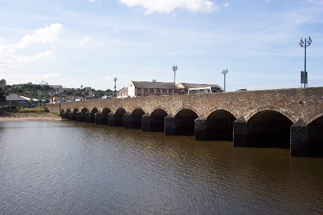 River TawRiver · 1.6 mi (about 2 mi on foot)
Also nearby
Walking distances are estimates from the straight-line distance and the type of ground, not a measured route. Check a map before you set off.
Hills, trails and walks from the platform
Walking distances are estimates from the straight-line distance and the type of ground, not a measured route. Check a map before you set off.
| Ball Hill | 257m | 1.2 mi (about 1.5 to 2 mi on foot) |
| Belstone Tor | 479m | 2.3 mi (about 3 to 3.5 mi on foot) |
| West Mill Tor | 543m | 3.1 mi (about 4 to 4.5 mi on foot) |
| Cosdon Hill [South Tawton Common]D | 551m | 3.1 mi (about 4 to 4.5 mi on foot) |
| East Mill Tor | 513m | 3.6 mi (about 4.5 to 5 mi on foot) |
No National Trails within 10 miles.
Route data © OpenStreetMap contributors, ODbL – coverage and route quality vary by area.
| Devonshire Heartland Way ↗Regional | 44.2 mi | 0.2 mi |
| Tarka Trail ↗Regional | 92.4 mi | 0.6 mi |
| Dartmoor Way ↗Regional | 95.3 mi | 0.6 mi |
| Sticklepath to Belstone Circular ↗ | 4.2 mi | 1.0 mi |
| Two Castles Trail ↗Regional | 24.0 mi | 1.2 mi |