





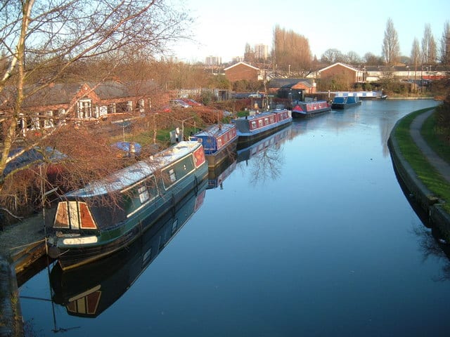
Walk the Wyrley and Essington Canal by Train
Photo: Edward Hunt, CC BY-SA 2.0, via Wikimedia Commons
The Wyrley and Essington Canal, known locally as the Curly Wyrley, runs from Wolverhampton across the English Midlands and was designated a Local Nature Reserve in 2008. Bloxwich and Wolverhampton stations give train access to the towpath.
There are 2 stations within reach of the Wyrley and Essington Canal: within 2 miles of it, or half a mile in towns.
The Wyrley and Essington Canal runs about 16 miles in our route data, including any river sections it follows. The stations below are in order along it.
Wyrley and Essington Canal train stations
Walking distances are estimates from the straight-line distance and the type of ground, not a measured route. Check a map before you set off.
Station-to-station walks
Walk the towpath from one station and catch the train back from another. Each station is shown with its nearest walk in each direction along the Wyrley and Essington Canal, from 4 to 20 miles. Miles include the walk to and from each station.
| From | To | Distance | Time |
|---|---|---|---|
| Wolverhampton | Bloxwich | 7.5 mi | about 2.5 hours |
Walks onto other canals
Start on the Wyrley and Essington Canal and finish on another canal, changing at the junction where they meet.
| From | To | Distance | Time |
|---|---|---|---|
| Bloxwich | Coseleyon the Birmingham New Main Line Canal | 10.5 mi | about 3.5 hours |
| Wolverhampton | Walsallon the Walsall Canal | 9.5 to 10 mi | about 3 to 3.5 hours |
Times use Naismith's rule and don't include stops.
Canal routes and towpaths © OpenStreetMap contributors.
More of Wyrley and Essington Canal
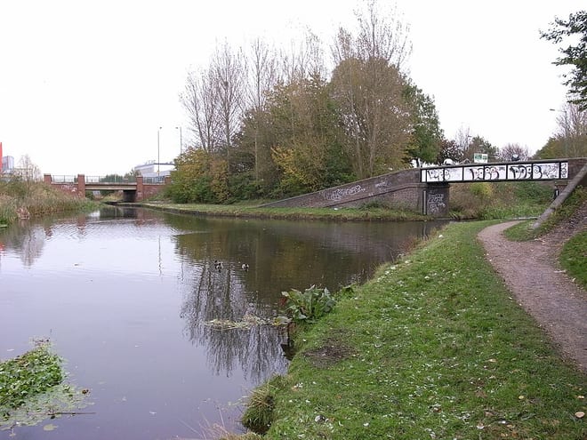
Photo: Oosoom, CC BY-SA 3.0, via Wikimedia Commons