





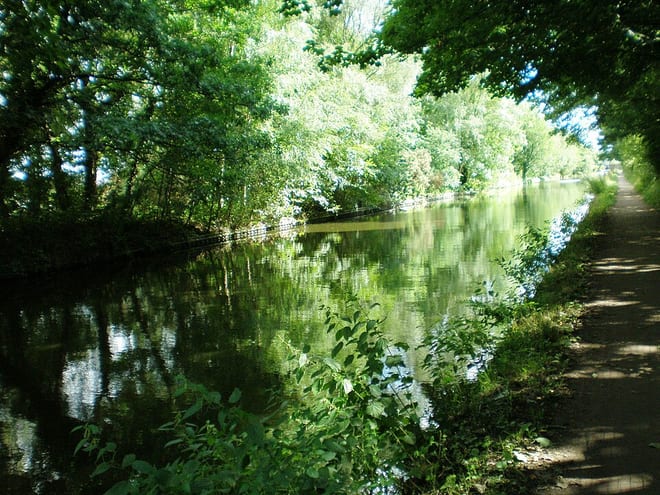
Wolverhampton Rail Station
- Canal
- Peaks nearby
- 21
- highest 271m
- Walking routes
- 20
- within 10 miles
What's on the doorstep
Birmingham New Main Line CanalCanal · 0.1 mi (about 0.1 mi on foot)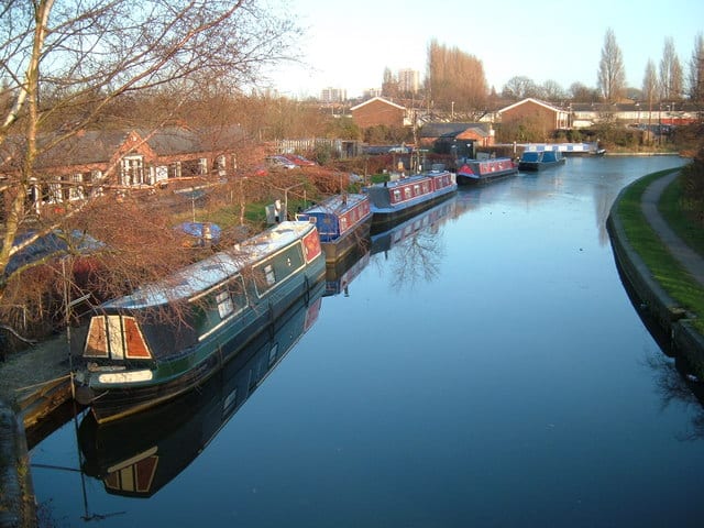 Wyrley and Essington CanalCanal · 0.3 mi (about 0.4 mi on foot)
Walking distances are estimates from the straight-line distance and the type of ground, not a measured route. Check a map before you set off.
About Wolverhampton Rail Station
Wolverhampton is a city and metropolitan borough, in the West Midlands, England. Located around 12 miles (19 km) north-west of Birmingham, it forms the north-western part of the West Midlands conurbation, with the towns of Willenhall and Walsall to the east, and the towns of Sedgley and Dudley to the south. The population in 2021 was 263,700, making it the third largest city in the county after Birmingham and Coventry.
Hills, trails and walks from the platform
Walking distances are estimates from the straight-line distance and the type of ground, not a measured route. Check a map before you set off.
| Bushbury Hill | 184m | 2.3 mi (about 3 to 3.5 mi on foot) |
| Tettenhall Wood | 156m | 2.8 mi (about 3.5 to 4 mi on foot) |
| Sedgley Beacon | 238m | 2.8 mi (about 3.5 to 4 mi on foot) |
| Sedgley Beacon (boundary) | 232m | 2.8 mi (about 3.5 to 4 mi on foot) |
| Essington Hill | 189m | 3.9 mi (about 5 to 5.5 mi on foot) |
No National Trails within 10 miles.
Route data © OpenStreetMap contributors, ODbL – coverage and route quality vary by area.
| Black Country Canals: The Dudley & Stourbridge Ring ↗Regional | 34.1 mi | 0.1 mi |
| Wolverhampton Locks Walk ↗Local | 1.9 mi | 0.1 mi |
| All Saints' Trail ↗Local | 3.4 mi | 0.2 mi |
| ABCD Pub Heritage Trail ↗Local | 3.7 mi | 0.3 mi |
| ABCD War Heritage Trail ↗Local | 2.7 mi | 0.3 mi |