





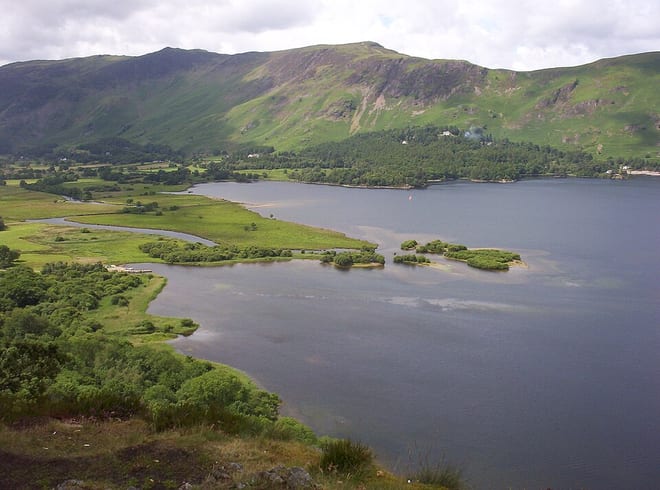
Walk Derwent Water by Train
Photo: Wikimedia Commons contributor, Public domain, via Wikimedia Commons
No station is near Derwent Water: take the train to Windermere or Penrith North Lakes, then the bus to Keswick.
Derwent Water has about 10 miles of shore in our map data, with a path all the way round.
Train stations for Derwent Water
- Windermere15.8 mi (about 19 to 21.5 mi on foot) · closest
- Penrith North Lakes15.9 mi (about 19 to 21.5 mi on foot)
Walking distances are estimates from the straight-line distance and the type of ground, not a measured route. Check a map before you set off.
Onward bus services
Buses that reach further into Derwent Water than the stations above. Check the days each one runs before you travel.
555 (Lancaster–Keswick)
From Windermere station, on through Ambleside and Grasmere
All year, with fewer buses since 19 September 2026
Timetable: Stagecoach Cumbria ↗X4 / X5 (Penrith–Keswick–Workington)
From Penrith station, to Keswick and along Bassenthwaite Lake
All year
Timetable: Stagecoach Cumbria ↗
Walks round Derwent Water
The lakeside path goes all the way round, about 10.4 mi. These start at the Keswick bus stop: see the buses below.
| From | Distance | Time |
|---|---|---|
| Keswick bus stop0.4 mi on foot each way to the shore | 11 mi | about 3.5 hours |
Times use Naismith's rule and don't include stops.
Lake outlines and lakeside paths © OpenStreetMap contributors.
More of Derwent Water
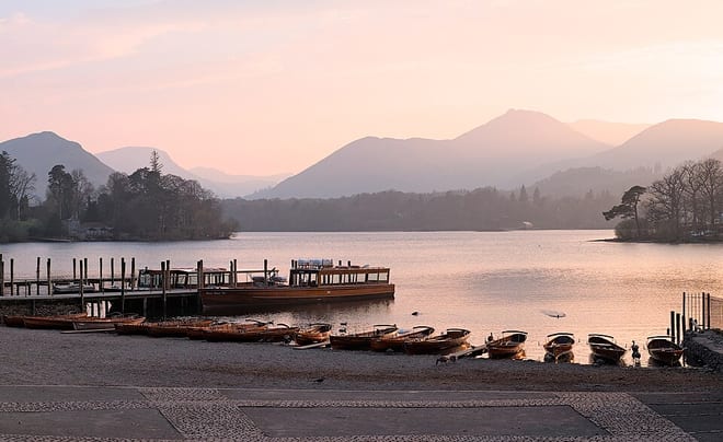
Photo: Trougnouf (Benoit Brummer), CC BY-SA 4.0, via Wikimedia Commons
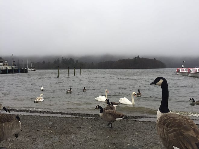
Photo: Aivin Gast, CC BY-SA 4.0, via Wikimedia Commons
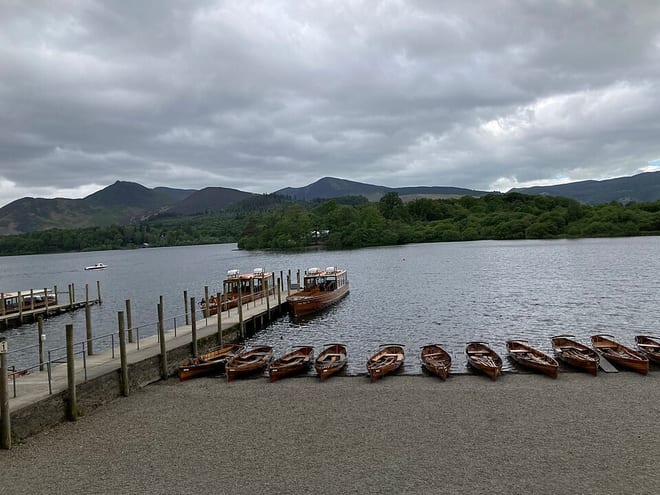
Photo: InterstellarGamer12321, CC BY-SA 4.0, via Wikimedia Commons