






Penrith North Lakes Rail Station
- Special Area of Conservation
- National Park
- Lake or reservoir
- Peaks nearby
- 30
- highest 533m
- Walking routes
- 11
- within 10 miles
What's on the doorstep
Lake DistrictNational Park · 2.2 mi (about 2.5 to 3 mi on foot)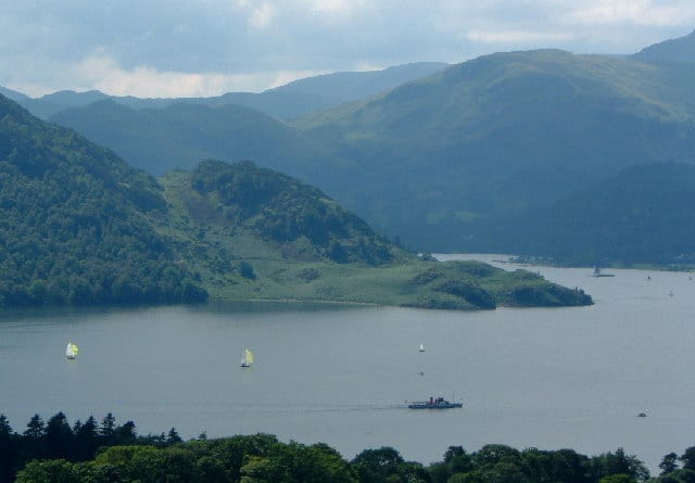 UllswaterLake or reservoir · 4.4 mi (about 5.5 to 6 mi on foot)
Also nearby
Walking distances are estimates from the straight-line distance and the type of ground, not a measured route. Check a map before you set off.
About Penrith North Lakes Rail Station
Penrith North Lakes is a railway station on the West Coast Main Line, which runs between London Euston and Glasgow Central. Situated 17 miles 69 chains (28.7 km) south of Carlisle, it serves the market town of Penrith, in Westmorland and Furness, Cumbria, England. The station is owned by Network Rail and managed by Avanti West Coast.
Source: Wikipedia, CC BY-SA.
Hills, trails and walks from the platform
Walking distances are estimates from the straight-line distance and the type of ground, not a measured route. Check a map before you set off.
| Beacon Hill | 285m | 1.1 mi (about 1.5 mi on foot) |
| Highbarn Hill | 149m | 3.3 mi (about 4 to 4.5 mi on foot) |
| Wan Fell | 272m | 3.5 mi (about 4.5 to 5 mi on foot) |
| Dacre Bank | 302m | 4.0 mi (about 5 to 6 mi on foot) |
| Quarrystone Bank | 221m | 4.0 mi (about 5.5 to 6 mi on foot) |
| Coast to Coast ↗ | 202.4 mi | 8.5 mi |
Route data © OpenStreetMap contributors, ODbL – coverage and route quality vary by area.
| Eamont Way ↗Local | 5.5 mi | 0.0 mi |
| Lady Anne's Way ↗Regional | 96.6 mi | 0.9 mi |
| Ullswater Way - Dalemain Loop ↗Local | 5.0 mi | 2.7 mi |
| Ullswater Way - Lowther Castle Loop ↗Local | 8.1 mi | 3.7 mi |
| The Ullswater Way ↗Local | 26.0 mi | 4.1 mi |