





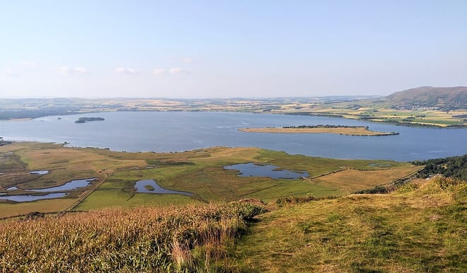
Walk Loch Leven by Train
Photo: Iangpark, CC BY-SA 4.0, via Wikimedia Commons
There are 3 stations within 5 miles of Loch Leven.
Loch Leven has about 13 miles of shore in our map data, with a path all the way round.
Loch Leven train stations
- Lochgelly3.2 mi (about 4 to 4.5 mi on foot) · closest
- Cardenden3.9 mi (about 4.5 to 5 mi on foot)
- Cowdenbeath4.6 mi (about 5.5 to 6 mi on foot)
Walking distances are estimates from the straight-line distance and the type of ground, not a measured route. Check a map before you set off.
Walks round Loch Leven
The lakeside path goes all the way round, about 13.2 mi. Walk from the station to the shore, round the water and back. Miles include the walk to and from the station. A walk this long doesn't have to be done in a day.
| Station | Distance | Time |
|---|---|---|
| Cowdenbeath5.5 to 6 mi on foot each way to the shore | 24.5 to 25.5 mi | about 8 to 8.5 hours |
| Lochgelly4 to 4.5 mi on foot each way to the shore | 21 to 22 mi | about 7 to 7.5 hours |
| Cardenden4.5 to 5 mi on foot each way to the shore | 22.5 to 23.5 mi | about 7.5 to 8 hours |
Times use Naismith's rule and don't include stops.
Lake outlines and lakeside paths © OpenStreetMap contributors.
More of Loch Leven
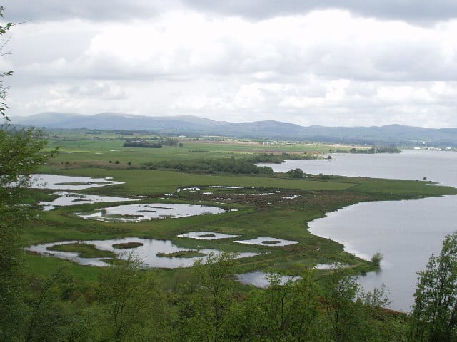
Photo: Gordon McKinlay, CC BY-SA 2.0, via Geograph
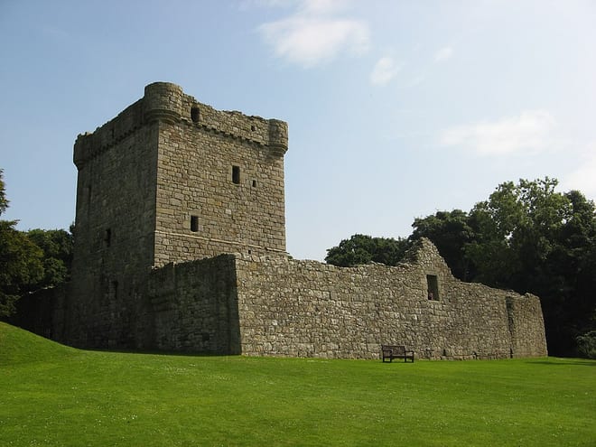
Photo: Jonathan Oldenbuck, CC BY-SA 3.0, via Wikimedia Commons
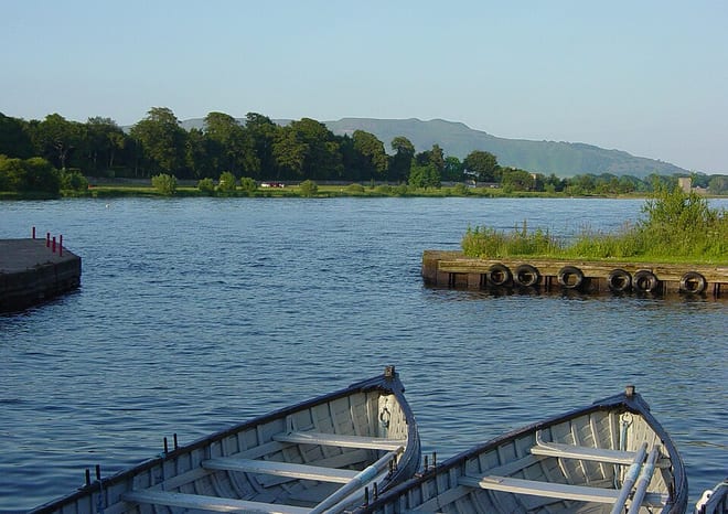
Photo: Euchiasmus at English Wikipedia, Public domain, via Wikimedia Commons