





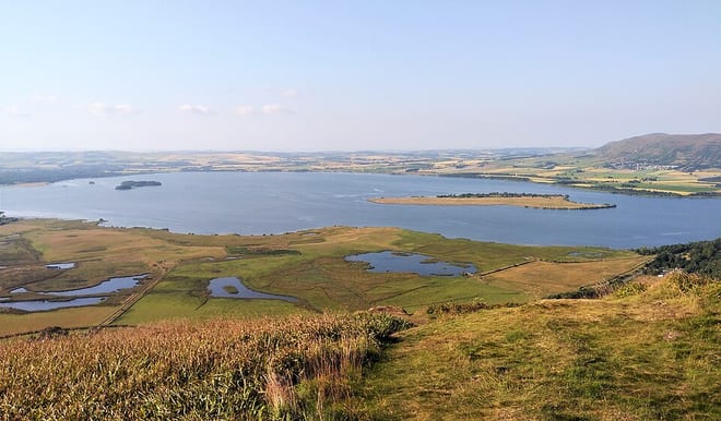
Cardenden Rail Station
- River
- Lake or reservoir
- Peaks nearby
- 30
- highest 82m
- Walking routes
- 20
- within 10 miles
What's on the doorstep
Walking distances are estimates from the straight-line distance and the type of ground, not a measured route. Check a map before you set off.
About Cardenden Rail Station
Cardenden is a Scottish town located on the south bank of the River Ore in the parish of Auchterderran, Fife. It is approximately four miles northwest of Kirkcaldy. Cardenden was named in 1848 by the Edinburgh and Northern Railway for its new railway station. A former mining town, Cardenden had a reported population of 448 in 1891 that had increased to 5,533 as of 2011.
Hills, trails and walks from the platform
Walking distances are estimates from the straight-line distance and the type of ground, not a measured route. Check a map before you set off.
| Keir Brae | 139m | 1.3 mi (about 1.5 to 2 mi on foot) |
| Hare Law | 149m | 1.4 mi (about 2 mi on foot) |
| Balgreggie Craigs | 138m | 1.5 mi (about 2 mi on foot) |
| Bankhead of Raith | 164m | 1.8 mi (about 2.5 mi on foot) |
| Albion Park | 169m | 2.2 mi (about 3 mi on foot) |
No National Trails within 10 miles.
Route data © OpenStreetMap contributors, ODbL – coverage and route quality vary by area.
| Fife Pilgrim Way ↗Regional | 64.6 mi | 1.0 mi |
| Lochgelly Heritage Trail ↗ | 1.1 mi | 1.8 mi |
| The Old North Road ↗Local | 2.2 mi | 3.7 mi |
| Loch Leven Heritage Trail ↗ | 12.6 mi | 3.8 mi |
| Lochend Farm and Scottish Gliding Centre ↗Local | 3.1 mi | 3.9 mi |