





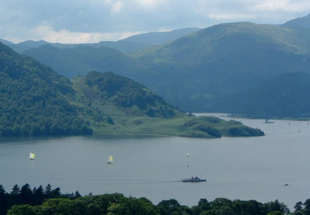
Walk Ullswater by Train
Photo: Carl Bendelow, CC BY-SA 2.0, via Geograph
There is 1 station within 5 miles of Ullswater.
Ullswater has about 19 miles of shore in our map data, with a path along part of it.
Ullswater train stations
Walking distances are estimates from the straight-line distance and the type of ground, not a measured route. Check a map before you set off.
There-and-back walks
The lakeside path doesn't go all the way round Ullswater, so these walks head out along it and come back the same way. Miles include the walk to and from the station, up to 20 miles in all; turn round sooner for a shorter walk.
| Station | Along the lakeside path | Distance | Time |
|---|---|---|---|
| Penrith North Lakes5.5 to 6 mi on foot each way to the shore | 2.0 mi and back | 15 to 16 mi | about 5 to 5.5 hours |
Times use Naismith's rule and don't include stops.
Lake outlines and lakeside paths © OpenStreetMap contributors.
About Ullswater
Ullswater is a glacial lake in Cumbria, England. It is part of the Lake District and is the second largest lake in the region by both area and volume, after Windermere. The lake is about 7 miles (11 km) long, 0.75 miles (1 km) wide, and has a maximum depth of 63 metres (207 ft). Its outflow is the River Eamont, which meets the River Eden at Brougham Castle before flowing into the Solway Firth. The lake historically formed part of the border between Cumberland and Westmorland.
Source: Wikipedia, CC BY-SA.
More of Ullswater
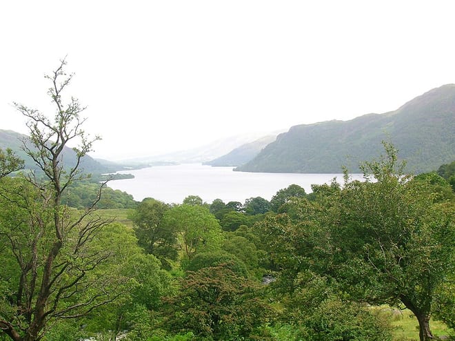
Photo: Rosser (talk) Roger Griffith, Public domain, via Wikimedia Commons
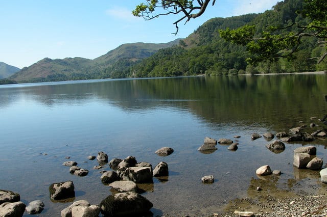
Photo: Philip Halling, CC BY-SA 2.0, via Geograph
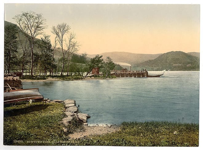
Photo: The Library of Congress, No restrictions, via Wikimedia Commons