






Photo: User:Rjgibb, Public domain, via Wikimedia Commons
The High Weald is a landscape of ancient woodland, sandstone outcrops, hidden ghyll valleys and small hilltop villages across Kent, Sussex and Surrey, with Black Hill and Saxonbury Hill among its high points. Balcombe, Hever and Frant stations give train access to woodland walks.
There are 31 stations in or within 1 mile of High Weald National Landscape.
The area is home to 44 DoBIH-listed peaks, the highest being Crowborough at 242m.
High Weald National Landscape train stations
- Faygate0.2 mi (about 0.3 mi on foot)
- Littlehaven0.8 mi (about 1 mi on foot)
- Horsham0.9 mi (about 1 mi on foot)
- Lingfield1.0 mi (about 1 to 1.5 mi on foot)
- Haywards Heath0.8 mi (about 1 mi on foot)
- Ashurst (Kent)
- Cowden
- Eridge
- Frant
- Wadhurst
- Crowborough0.2 mi (about 0.3 mi on foot)
- Buxted0.7 mi (about 1 mi on foot)
- Balcombe
- Battle
- Crowhurst
- Doleham
- Etchingham
- Hever
- Robertsbridge
- Stonegate
- Three Oaks
- Winchelsea
- Leigh (Kent)
- Rye0.2 mi (about 0.2 mi on foot)
- Penshurst0.2 mi (about 0.3 mi on foot)
- East Grinstead0.3 mi (about 0.4 mi on foot)
- Dormans0.3 mi (about 0.4 to 0.5 mi on foot)
- Ore0.5 mi (about 0.5 to 0.6 mi on foot)
- High Brooms0.5 mi (about 0.6 mi on foot)
- Tonbridge0.7 mi (about 0.9 to 1 mi on foot)
- Hastings0.8 mi (about 1 mi on foot)
Walking distances are estimates from the straight-line distance and the type of ground, not a measured route. Check a map before you set off.
Journey times from cities
How soon you can be at the nearest station serving the High Weald National Landscape from each city, counting stations just outside the boundary as well as inside it.
- Brighton to Haywards HeathFrom 19min
- London to TonbridgeFrom 35min
- Southampton to HorshamFrom 1hr 36min
- Cambridge to TonbridgeFrom 2hr 1min
- Oxford to TonbridgeFrom 2hr 2min
- Leicester to TonbridgeFrom 2hr 11min
- Bath to TonbridgeFrom 2hr 30min
- Nottingham to TonbridgeFrom 2hr 35min
- Birmingham to TonbridgeFrom 2hr 37min
- Bristol to TonbridgeFrom 2hr 43min
- Norwich to TonbridgeFrom 2hr 53min
- York to TonbridgeFrom 3hr
- Cardiff to TonbridgeFrom 3hr 3min
- Sheffield to TonbridgeFrom 3hr 8min
- Leeds to TonbridgeFrom 3hr 15min
- Manchester to TonbridgeFrom 3hr 22min
- Exeter to TonbridgeFrom 3hr 24min
- Preston to TonbridgeFrom 3hr 24min
- Liverpool to TonbridgeFrom 3hr 31min
- Lancaster to TonbridgeFrom 3hr 44min
- Newcastle to TonbridgeFrom 3hr 49min
- Durham to TonbridgeFrom 3hr 58min
Good to know
Can you get to the High Weald National Landscape by train?
Yes. 31 stations are within 1 mile of the High Weald National Landscape, including Ashurst (Kent) and Balcombe.
What is the nearest train station to the High Weald National Landscape?
16 stations with regular trains are inside the High Weald National Landscape, including Ashurst (Kent), Balcombe and Battle.
How long does it take to get to the High Weald National Landscape by train?
The High Weald National Landscape is 19min from Brighton, 35min from London and 1hr 36min from Southampton by train, to the nearest station.
More of High Weald National Landscape
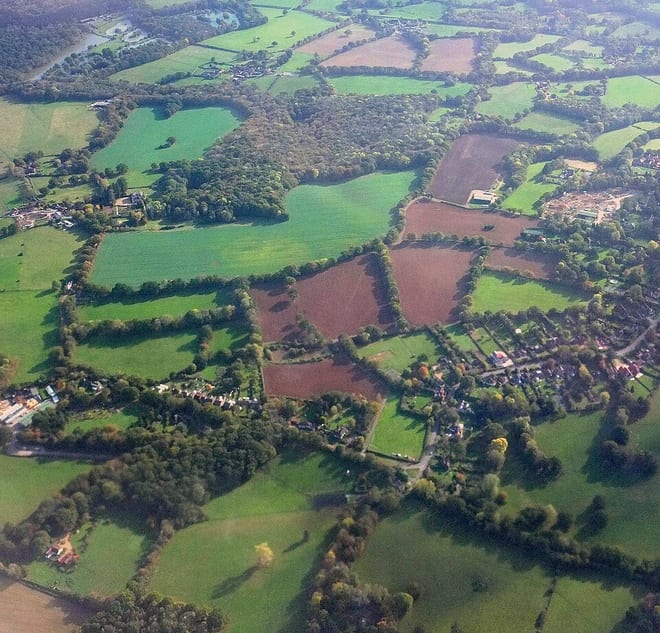
Photo: Derek Harper, CC BY-SA 2.0, via Geograph
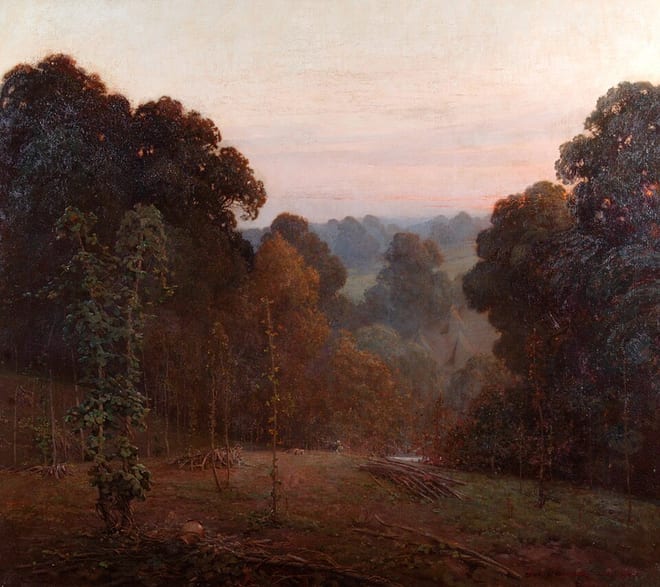
Photo: Artist Benjamin Haughton, Public domain, via Wikimedia Commons