






Winchelsea Rail Station
- National Landscape
- River
- Canal
- Peaks nearby
- 10
- highest 82m
- Walking routes
- 10
- within 10 miles
What's on the doorstep
High Weald National LandscapeNational Landscape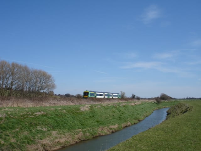 River BredeRiver · 0.2 mi (about 0.3 mi on foot)
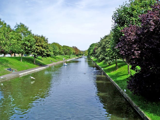 Royal Military CanalCanal · 0.8 mi (about 1 mi on foot)
Walking distances are estimates from the straight-line distance and the type of ground, not a measured route. Check a map before you set off.
About Winchelsea Rail Station
Winchelsea is a town in the county of East Sussex, England, located between the High Weald and the Romney Marsh, approximately two miles southwest of Rye and seven miles north east of Hastings. The current town, which was founded in 1288, replaced an earlier town of the same name, known as Old Winchelsea, that was lost to coastal erosion in the late medieval period. Winchelsea is part of the civil parish of Icklesham.
Hills, trails and walks from the platform
Walking distances are estimates from the straight-line distance and the type of ground, not a measured route. Check a map before you set off.
| Winchelsea | 40m | 0.7 mi (about 0.8 to 0.9 mi on foot) |
| Leasam Hill | 58m | 2.3 mi (about 3 to 3.5 mi on foot) |
| Morebread Hill | 68m | 2.5 mi (about 3.5 mi on foot) |
| Ludley Hill | 82m | 3.5 mi (about 4.5 to 5 mi on foot) |
| North's Seat | 176m | 5.3 mi (about 7 to 8 mi on foot) |
No National Trails within 10 miles.
Route data © OpenStreetMap contributors, ODbL – coverage and route quality vary by area.
| 1066 Country Walk ↗Regional | 31.8 mi | 0.0 mi |
| Saxon Shore Way ↗Regional | 162.9 mi | 0.8 mi |
| European walking route E9, Rye to Dover ↗International | 40.8 mi | 1.6 mi |
| High Weald Landscape Trail ↗Regional | 96.2 mi | 1.6 mi |
| Sussex Border Path ↗Regional | 140.7 mi | 1.8 mi |