






Walk the Pembrokeshire Coast by Train
Photo: Donar Reiskoffer, CC BY 3.0, via Wikimedia Commons
The Pembrokeshire Coast Path follows a spectacular shoreline of red sandstone cliffs, sandy coves, seabird islands and heather headlands from Amroth to St Dogmaels. Milford Haven, Fishguard and Goodwick, Tenby and Penally stations give train access to many sections of the trail.
There are 10 stations within 3 miles of the Pembrokeshire Coast National Trail.
The route passes 86 DoBIH-listed peaks, the highest being Mynydd Carningli at 347m.
The Pembrokeshire Coast in brief
- Length
- 186 miles (299 km)
- Time to walk it
- About 12 days
The time is for the whole route; you can also walk it a section at a time.
Walk it in sections: station to station
Day walks along the Pembrokeshire Coast, each from one station to another. Miles are along the trail.
| Section | From | To | Along the trail |
|---|---|---|---|
| 1 | Milford Haven | Pembroke (0.6 mi (about 0.7 to 0.8 mi on foot) off) | 11.6 mi |
| 2 | Lamphey (1.5 mi (about 1.5 to 2 mi on foot) off) | Saundersfoot (1.0 mi (about 1 to 1.5 mi on foot) off) | 13.9 mi |
Pembrokeshire Coast train stations
In the order the route reaches them.
- Fishguard & Goodwick0.1 mi (about 0.1 mi on foot)Bronze walking rating
- Milford Haven0.1 mi (about 0.1 mi on foot)Bronze walking rating
- Johnston (Pembrokeshire)2.8 mi (about 3.5 to 4 mi on foot)Bronze walking rating
- Pembroke Dock0.1 mi (about 0.2 mi on foot)Bronze walking rating
- Pembroke0.6 mi (about 0.7 to 0.8 mi on foot)Bronze walking rating
- Lamphey1.5 mi (about 1.5 to 2 mi on foot)Bronze walking rating
- Manorbier1.2 mi (about 1.5 mi on foot)Bronze walking rating
- PenallyBronze walking rating
- Tenby0.2 mi (about 0.2 to 0.3 mi on foot)Bronze walking rating
- Saundersfoot1.0 mi (about 1 to 1.5 mi on foot)Bronze walking rating
Walking distances are estimates from the straight-line distance and the type of ground, not a measured route. Check a map before you set off.
Good to know
How long is the Pembrokeshire Coast?
The Pembrokeshire Coast is 186 miles (299 km) long.
How long does it take to walk the Pembrokeshire Coast?
About 12 days for the whole route. You can also walk it a section at a time, from one station to the next.
Where does the Pembrokeshire Coast start and finish?
It starts at St Dogmaels and finishes at Amroth.
Which train stations are on the Pembrokeshire Coast?
10 stations are within 3 miles of the Pembrokeshire Coast, including Penally, Fishguard & Goodwick and Milford Haven, the closest with regular trains.
More of Pembrokeshire Coast
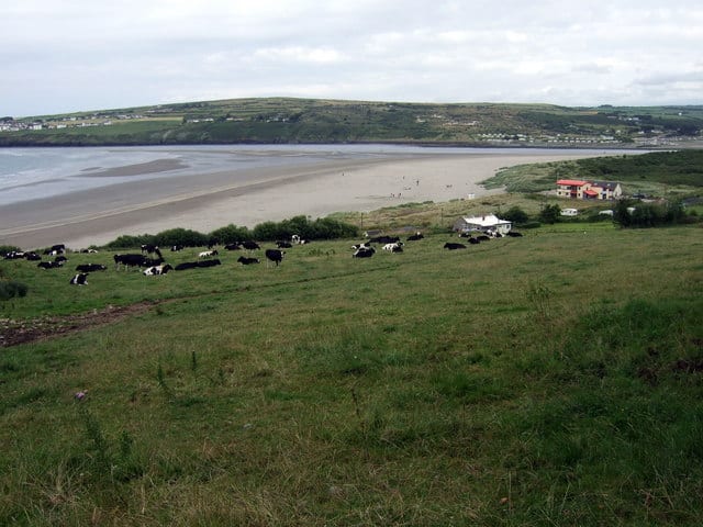
Photo: ceridwen, CC BY-SA 2.0, via Geograph
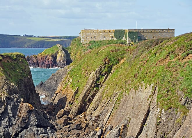
Photo: Ainslie, CC BY-SA 3.0, via Wikimedia Commons
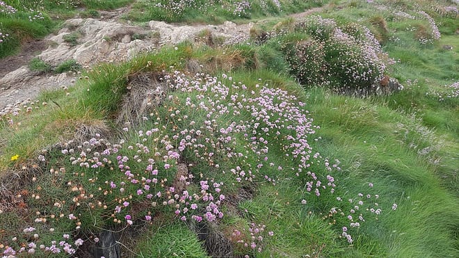
Photo: Hogyn Lleol, CC BY 4.0, via Wikimedia Commons