






Walk the Pennine Way by Train
Photo: Wikimedia Commons contributor, Public domain, via Wikimedia Commons
The Pennine Way follows the backbone of England from the Peak District to the Scottish border, crossing gritstone edges, high moorland, limestone dales and the Cheviot Hills. Edale, Gargrave and Horton-in-Ribblesdale stations give train access to classic sections of the trail.
There are 15 stations within 2.65 miles of the Pennine Way National Trail.
The route passes 249 DoBIH-listed peaks, the highest being Cross Fell at 893m.
The Pennine Way in brief
- Length
- 268 miles (431 km)
- Time to walk it
- About 19 days
The time is for the whole route; you can also walk it a section at a time.
Walk it in sections: station to station
Day walks along the Pennine Way, each from one station to another. Miles are along the trail.
| Section | From | To | Along the trail |
|---|---|---|---|
| 1 | Edale (0.4 mi (about 0.4 to 0.5 mi on foot) off) | Hadfield (2.4 mi (about 3 mi on foot) off) | 16.0 mi |
| 2 | Hadfield (2.4 mi (about 3 mi on foot) off) | Marsden (1.8 mi (about 2 to 2.5 mi on foot) off) | 10.1 mi |
| 3 | Marsden (1.8 mi (about 2 to 2.5 mi on foot) off) | Hebden Bridge (1.0 mi (about 1 to 1.5 mi on foot) off) | 15.9 mi |
| 4 | Hebden Bridge (1.0 mi (about 1 to 1.5 mi on foot) off) | Cononley (2.1 mi (about 2.5 to 3 mi on foot) off) | 18.6 mi |
| 5 | Cononley (2.1 mi (about 2.5 to 3 mi on foot) off) | Gargrave | 9.6 mi |
| 6 | Gargrave | Horton-in-Ribblesdale | 20.8 mi |
Pennine Way train stations
In the order the route reaches them.
- Edale0.4 mi (about 0.4 to 0.5 mi on foot)Gold walking rating
- Hadfield2.4 mi (about 3 mi on foot)Gold walking rating
- Marsden1.8 mi (about 2 to 2.5 mi on foot)Silver walking rating
- Littleborough1.9 mi (about 2 to 2.5 mi on foot)
- Walsden1.5 mi (about 2 mi on foot)
- Hebden Bridge1.0 mi (about 1 to 1.5 mi on foot)
- Cononley2.1 mi (about 2.5 to 3 mi on foot)Silver walking rating
- Gargrave0.2 mi (about 0.2 mi on foot)Silver walking rating
- Horton-in-Ribblesdale0.3 mi (about 0.3 mi on foot)Gold walking rating
- Ribblehead2.2 mi (about 2.5 to 3 mi on foot)Gold walking rating
- Appleby2.6 mi (about 3 to 3.5 mi on foot)Gold walking rating
- Haltwhistle1.8 mi (about 2 to 2.5 mi on foot)Bronze walking rating
- Bardon Mill2.2 mi (about 2.5 to 3 mi on foot)Bronze walking rating
- Kirkhaugh
- Slaggyford0.1 mi (about 0.1 mi on foot)
Walking distances are estimates from the straight-line distance and the type of ground, not a measured route. Check a map before you set off.
Good to know
How long is the Pennine Way?
The Pennine Way is 268 miles (431 km) long.
How long does it take to walk the Pennine Way?
About 19 days for the whole route. You can also walk it a section at a time, from one station to the next.
Where does the Pennine Way start and finish?
It starts at Edale and finishes at Kirk Yetholm.
Which train stations are on the Pennine Way?
15 stations are within 2.65 miles of the Pennine Way, including Gargrave, Horton-in-Ribblesdale and Edale, the closest with regular trains.
More of Pennine Way
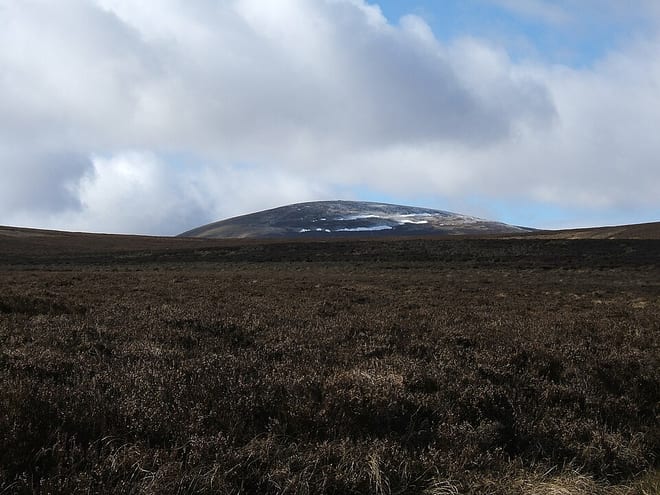
Photo: Wikimedia Commons contributor, CC BY 2.5, via Wikimedia Commons
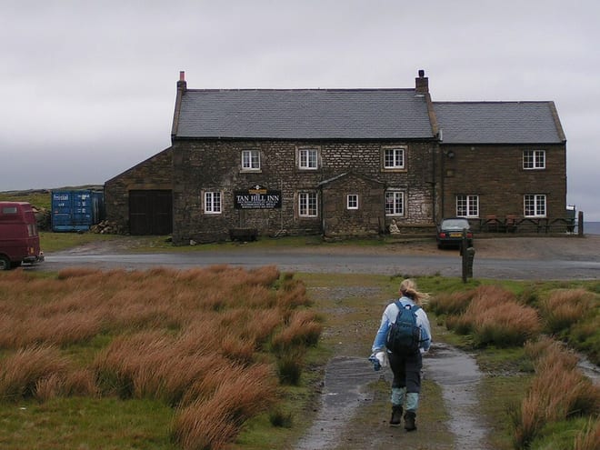
Photo: Dave Dunford, CC BY-SA 2.5, via Wikimedia Commons
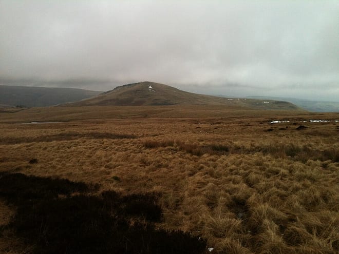
Photo: User:Richard BB, CC BY-SA 3.0, via Wikimedia Commons