






Walk the South West Coast Path by Train
Photo: The original uploader was Stevekeiretsu at English Wikipedia., CC BY 1.0, via Wikimedia Commons
The South West Coast Path traces the shoreline of Somerset, Devon, Cornwall and Dorset past sea cliffs, hidden coves, sandy beaches, fishing harbours and dramatic headlands. Penzance, St Ives, Falmouth, Looe, Paignton and Barnstaple stations give train access to many sections of the trail.
There are 27 stations within 4.4 miles of the South West Coast Path National Trail.
The route passes 374 DoBIH-listed peaks, the highest being Dunkery Beacon at 520m.
The South West Coast Path in brief
- Length
- 630 miles (1,014 km)
- Time to walk it
- About 52 days
The time is for the whole route; you can also walk it a section at a time.
Walk it in sections: station to station
Day walks along the South West Coast Path, each from one station to another. Miles are along the trail.
| Section | From | To | Along the trail |
|---|---|---|---|
| 1 | Redruth (3.3 mi (about 4 to 4.5 mi on foot) off) | Carbis Bay | 19.4 mi |
| 2 | Par (0.3 mi (about 0.4 mi on foot) off) | Looe | 19.0 mi |
| 3 | Looe | St Germans (2.2 mi (about 2.5 to 3 mi on foot) off) | 8.5 mi |
| 4 | St Germans (2.2 mi (about 2.5 to 3 mi on foot) off) | Plymouth (0.8 mi (about 1 mi on foot) off) | 15.7 mi |
| 5 | Paignton | Teignmouth | 14.5 mi |
| 6 | Teignmouth | Exmouth (0.4 mi (about 0.5 mi on foot) off) | 10.9 mi |
| 7 | Upwey (1.2 mi (about 1.5 mi on foot) off) | Weymouth | 10.8 mi |
South West Coast Path train stations
In the order the route reaches them.
- Barnstaple0.2 mi (about 0.2 to 0.3 mi on foot)
- Quintrell Downs1.8 mi (about 2 to 2.5 mi on foot)
- Newquay
- Redruth3.3 mi (about 4 to 4.5 mi on foot)
- Camborne2.6 mi (about 3 to 3.5 mi on foot)
- LelantBronze walking rating
- Carbis BayBronze walking rating
- St Ives (Cornwall)Bronze walking rating
- PenzanceBronze walking rating
- Falmouth Docks0.1 mi (about 0.1 mi on foot)Bronze walking rating
- St Austell1.4 mi (about 1.5 to 2 mi on foot)
- Luxulyan3.3 mi (about 4 to 4.5 mi on foot)
- Par0.3 mi (about 0.4 mi on foot)Bronze walking rating
- Looe0.2 mi (about 0.3 mi on foot)Bronze walking rating
- St Germans2.2 mi (about 2.5 to 3 mi on foot)
- Plymouth0.8 mi (about 1 mi on foot)Bronze walking rating
- Paignton0.3 mi (about 0.3 mi on foot)
- Torquay0.1 mi (about 0.2 mi on foot)
- Teignmouth0.1 mi (about 0.2 mi on foot)
- Dawlish
- Dawlish Warren0.1 mi (about 0.1 mi on foot)
- Starcross
- Exmouth0.4 mi (about 0.5 mi on foot)Bronze walking rating
- Upwey1.2 mi (about 1.5 mi on foot)
- Weymouth0.1 mi (about 0.1 mi on foot)
- Poole3.1 mi (about 4 mi on foot)
- Axminster4.3 mi (about 5 to 6 mi on foot)
Walking distances are estimates from the straight-line distance and the type of ground, not a measured route. Check a map before you set off.
Good to know
How long is the South West Coast Path?
The South West Coast Path is 630 miles (1,014 km) long.
How long does it take to walk the South West Coast Path?
About 52 days for the whole route. You can also walk it a section at a time, from one station to the next.
Where does the South West Coast Path start and finish?
It starts at Minehead and finishes at Poole Harbour.
More of South West Coast Path
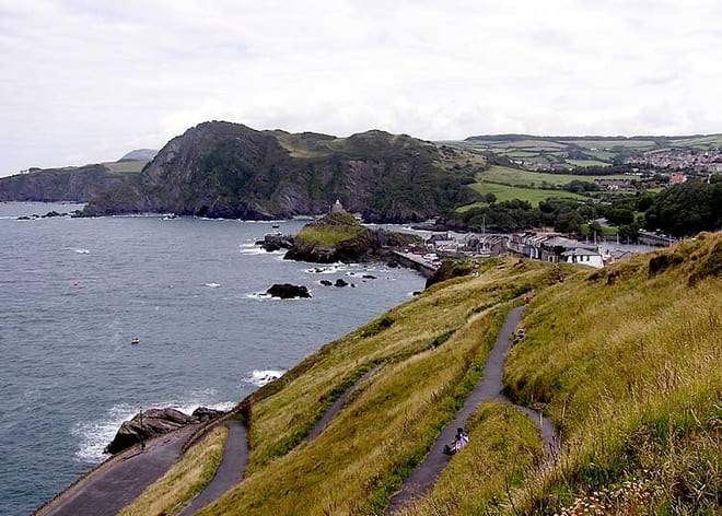
Photo: Adrian Pingstone at en.wikipedia, Public domain, via Wikimedia Commons
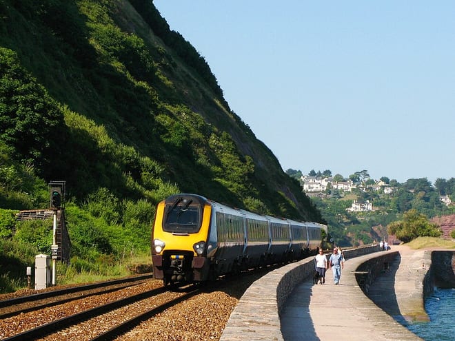
Photo: Geof Sheppard, CC BY-SA 4.0, via Wikimedia Commons
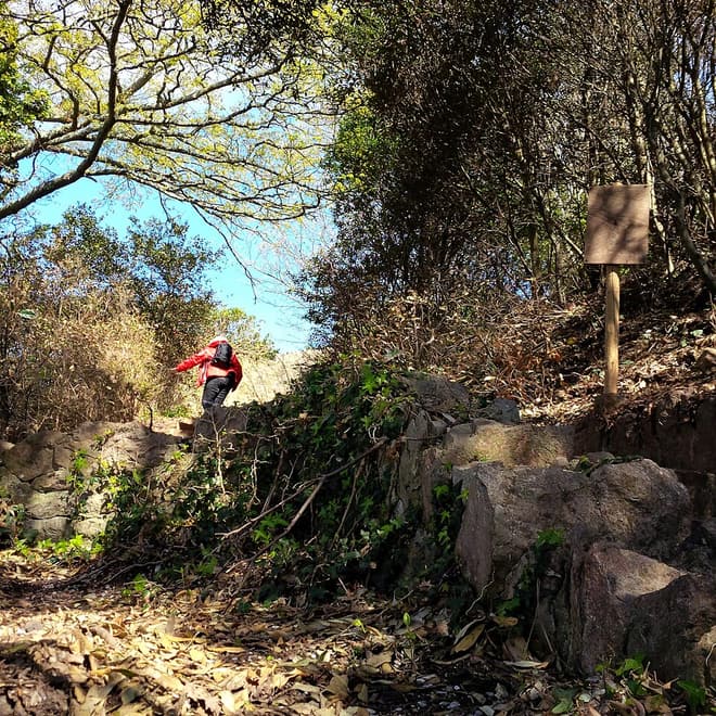
Photo: Romazur, CC BY-SA 3.0, via Wikimedia Commons