






Barnstaple Rail Station
- National Trail
- Disused railway
- River
- Heritage Coast
- Peaks nearby
- 30
- highest 98m
- Walking routes
- 21
- within 10 miles
What's on the doorstep
South West Coast PathNational Trail · 0.2 mi (about 0.2 to 0.3 mi on foot)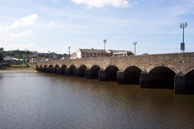 River TawRiver · 0.3 mi (about 0.3 to 0.4 mi on foot)
 North DevonHeritage Coast · 4.5 mi (about 6 to 7 mi on foot)
Also nearby
Walking distances are estimates from the straight-line distance and the type of ground, not a measured route. Check a map before you set off.
About Barnstaple Rail Station
Barnstaple is a town and civil parish in the North Devon district of Devon, England. The town lies at the River Taw's lowest crossing point before the Bristol Channel. From the 14th century, it was licensed to export wool from which it earned great wealth. Later it imported Irish wool, but its harbour silted up and other trades developed such as shipbuilding, foundries and sawmills. A Victorian market building survives, with a high glass and timber roof on iron columns.
Hills, trails and walks from the platform
Walking distances are estimates from the straight-line distance and the type of ground, not a measured route. Check a map before you set off.
| Waytown Hill | 120m | 1.5 mi (about 2 mi on foot) |
| Venn Hill | 115m | 1.7 mi (about 2.5 mi on foot) |
| Tent Hill | 91m | 1.7 mi (about 2.5 mi on foot) |
| Goodleigh Hill | 140m | 2.4 mi (about 3 to 3.5 mi on foot) |
| Codden Hill | 192m | 2.5 mi (about 3 to 3.5 mi on foot) |
| South West Coast Path ↗ | 663.3 mi | 0.2 mi |
Route data © OpenStreetMap contributors, ODbL – coverage and route quality vary by area.
| Macmillan Way West ↗Regional | 60.1 mi | 0.0 mi |
| South West Coast Path (Section 6: Braunton to Instow) ↗National | 10.9 mi | 0.2 mi |
| Barnstaple Heritage Trail ↗Local | 1.8 mi | 0.3 mi |
| Tarka Trail ↗Regional | 92.4 mi | 0.4 mi |
| Woodland and Cott Brake circular walk at Arlington Court, Arlington Court ↗Local | 5.2 mi | 4.5 mi |