





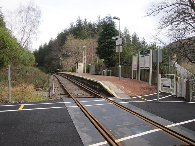
Achnashellach Rail Station
- River
- Wild Land Area
- Peaks nearby
- 30
- highest 961m
- Walking routes
- 15
- within 10 miles
What's on the doorstep
Coulin & Ledgowan ForestWild Land Area · 0.4 mi (about 0.5 to 0.6 mi on foot)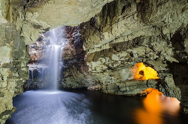 Central HighlandsWild Land Area · 0.5 mi (about 0.6 mi on foot)
Also nearby
Walking distances are estimates from the straight-line distance and the type of ground, not a measured route. Check a map before you set off.
About Achnashellach Rail Station
Achnashellach is an area in Wester Ross in the Highlands of Scotland, and within the Highland council area. It is at the eastern end of Loch Dùghaill, and on the A890 road. It has a railway station on the Kyle of Lochalsh Line.
Source: Wikipedia, CC BY-SA.
Hills, trails and walks from the platform
Walking distances are estimates from the straight-line distance and the type of ground, not a measured route. Check a map before you set off.
| Carn Odhar | 477m | 0.7 mi (about 1 mi on foot) |
| Carn Eite | 463m | 0.9 mi (about 1 to 1.5 mi on foot) |
| Fuar ThollM | 907m | 1.7 mi (about 2.5 to 3 mi on foot) |
| Mainreachan Buttress | 895m | 2.0 mi (about 3 mi on foot) |
| Beinn Liath Mhor Far East Top | 875m | 2.3 mi (about 3 to 3.5 mi on foot) |
No National Trails within 10 miles.
Route data © OpenStreetMap contributors, ODbL – coverage and route quality vary by area.