





Adlington (Lancs) Rail Station
- Canal
- River
- Peaks nearby
- 25
- highest 457m
- Walking routes
- 15
- within 10 miles
What's on the doorstep
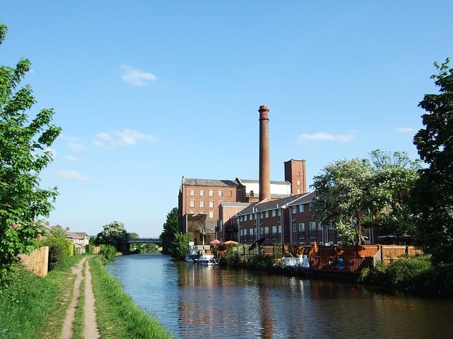
Leeds and Liverpool CanalCanal · 0.2 mi (about 0.2 mi on foot)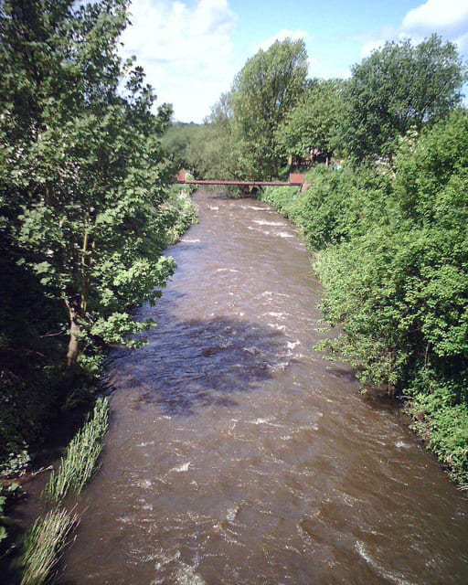 River DouglasRiver · 0.3 mi (about 0.4 mi on foot)
Also nearby
Walking distances are estimates from the straight-line distance and the type of ground, not a measured route. Check a map before you set off.
About Adlington (Lancs) Rail Station
Adlington is a village and civil parish in the Borough of Chorley in Lancashire, England, near the West Pennine Moors. It is 3 miles south of Chorley. It became a separate parish in 1842 then grew into a township around the textile and coal mining industries until these closed in the 1960s. It had a population of 5,270 at the 2001 census, and risen to 6,010 at the 2011 census. The Leeds and Liverpool Canal runs through the village, where it holds White Bear Marina, the largest marina on the Canal.
Hills, trails and walks from the platform
Walking distances are estimates from the straight-line distance and the type of ground, not a measured route. Check a map before you set off.
| Roscoe Lowe Hill | 162m | 0.9 mi (about 1 to 1.5 mi on foot) |
| Blackrod | 163m | 1.5 mi (about 2 mi on foot) |
| Haigh | 161m | 2.6 mi (about 3.5 mi on foot) |
| Healey Nab | 208m | 3.0 mi (about 4 to 4.5 mi on foot) |
| Winter HillM | 457m | 3.8 mi (about 5 to 5.5 mi on foot) |
No National Trails within 10 miles.
Route data © OpenStreetMap contributors, ODbL – coverage and route quality vary by area.
| Adlington Circular Walk ↗ | 1.6 mi | 0.2 mi |
| GM Ringway Stage 15 ↗Regional | 10.3 mi | 1.2 mi |
| GM Ringway Stage 14 ↗Regional | 13.9 mi | 1.6 mi |
| Rotary Way ↗Local | 0.6 mi | 3.0 mi |
| Wigan Way ↗ | 0.1 mi | 3.2 mi |