






Airbles Rail Station
- Scotland's Great Trail
- River
- Peaks nearby
- 12
- highest 320m
- Walking routes
- 11
- within 10 miles
What's on the doorstep
Clyde WalkwayScotland's Great Trail · 0.3 mi (about 0.4 mi on foot)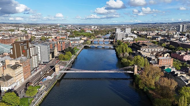 River ClydeRiver · 0.3 mi (about 0.4 mi on foot)
Walking distances are estimates from the straight-line distance and the type of ground, not a measured route. Check a map before you set off.
About Airbles Rail Station
Airbles is a small suburb to the south-east of Motherwell, North Lanarkshire, Scotland. It is mainly a residential area, consisting mostly of a mixture of high-rise and low-rise flats. The dual carriageway B754, known as Airbles Road, passes through the suburb, connecting eastern parts of Motherwell and nearby places such as Wishaw to the M74 motorway. In future, the dual carriageway may become a link road between the M74 and the M8. A section of the town park and Airbles Cemetery are also located in Airbles.
Hills, trails and walks from the platform
Walking distances are estimates from the straight-line distance and the type of ground, not a measured route. Check a map before you set off.
| Law of Maudslie | 204m | 5.3 mi (about 7 to 7.5 mi on foot) |
| Cant Hills | 306m | 7.2 mi (about 9.5 to 10.5 mi on foot) |
| Duntilland Hill | 291m | 7.3 mi (about 9.5 to 10.5 mi on foot) |
| Swinsy Hill | 113m | 7.5 mi (about 9.5 to 11 mi on foot) |
| South Cathkin Hill | 227m | 7.7 mi (about 10 to 11 mi on foot) |
No National Trails within 10 miles.
Route data © OpenStreetMap contributors, ODbL – coverage and route quality vary by area.
| Clyde Walkway ↗National | 38.6 mi | 0.3 mi |
| Avon Walkway ↗ | 9.6 mi | 0.8 mi |
| East Loop ↗ | 1.2 mi | 2.9 mi |
| Nature Trail ↗Local | 0.8 mi | 3.3 mi |
| West Loop ↗ | 0.6 mi | 3.3 mi |