





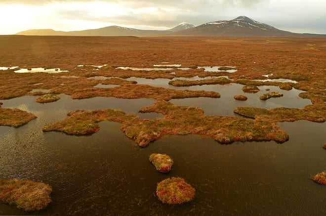
Altnabreac Rail Station
- Special Area of Conservation
- National Nature Reserve
- Wild Land Area
- Peaks nearby
- 20
- highest 438m
- Walking routes
- 0
- within 10 miles
What's on the doorstep
East Halladale FlowsWild Land Area · 1.7 mi (about 2 to 2.5 mi on foot)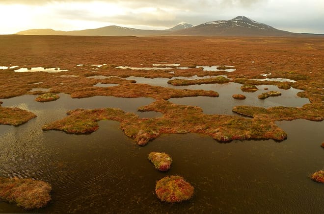 Causeymire -Knockfin FlowsWild Land Area · 1.8 mi (about 2 to 2.5 mi on foot)
Also nearby
Walking distances are estimates from the straight-line distance and the type of ground, not a measured route. Check a map before you set off.
About Altnabreac Rail Station
Altnabreac is a tiny settlement within the county of Caithness, in the north of Scotland, and now within the Highland council area. The name means "trout stream".
Source: Wikipedia, CC BY-SA.
Hills, trails and walks from the platform
Walking distances are estimates from the straight-line distance and the type of ground, not a measured route. Check a map before you set off.
| Cnoc Beul na Faire | 203m | 1.4 mi (about 2 mi on foot) |
| Cnoc Preas a' Mhadaidh | 202m | 2.3 mi (about 3 to 3.5 mi on foot) |
| Sletill Hill | 280m | 4.7 mi (about 6 to 6.5 mi on foot) |
| Beinn Glas-choire | 348m | 5.0 mi (about 6.5 to 7 mi on foot) |
| Ben Alisky | 349m | 5.1 mi (about 6.5 to 7.5 mi on foot) |
No National Trails within 10 miles.
Route data © OpenStreetMap contributors, ODbL – coverage and route quality vary by area.
No waymarked routes within 10 miles.