





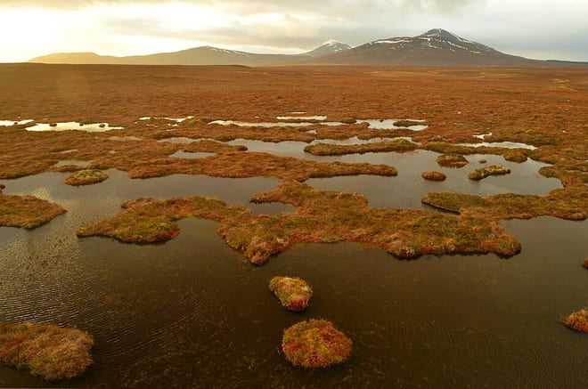
East Halladale Flows by Train
Photo: Andrew Tryon, CC BY-SA 2.0, via Geograph
East Halladale Flows is a Caithness landscape of peat bogs, dubh lochans and wide open skies, with low hills such as Beinn nam Bad Mor on the horizon of the Flow Country. Altnabreac and Scotscalder stations on the Far North Line give train access to this remote moorland.
There are 2 stations within 3 miles of the East Halladale Flows Wild Land Area.
The area is home to 20 DoBIH-listed peaks, the highest being Beinn nam Bad Mor at 291m.
East Halladale Flows train stations
Walking distances are estimates from the straight-line distance and the type of ground, not a measured route. Check a map before you set off.
Journey times from cities
How soon you can be at the nearest station serving the East Halladale Flows Wild Land Area from each city, counting stations just outside the boundary as well as inside it.
- Inverness to ScotscalderFrom 3hr 44min
- Aberdeen to ScotscalderFrom 5hr 45min
- Stirling to ScotscalderFrom 6hr 34min
- Dundee to ScotscalderFrom 6hr 56min
- Glasgow to ScotscalderFrom 7hr 1min
- Edinburgh to ScotscalderFrom 7hr 33min
- Newcastle to ScotscalderFrom 9hr 53min
- Durham to ScotscalderFrom 10hr 7min
- Lancaster to ScotscalderFrom 10hr 14min
- Preston to ScotscalderFrom 10hr 30min
- York to ScotscalderFrom 10hr 59min
- Manchester to ScotscalderFrom 11hr 12min
- Birmingham to ScotscalderFrom 12hr 3min
- Leeds to ScotscalderFrom 12hr 3min
- Liverpool to ScotscalderFrom 12hr 3min
- Sheffield to ScotscalderFrom 12hr 3min
- London to ScotscalderFrom 12hr 4min
- Nottingham to ScotscalderFrom 12hr 24min
- Leicester to ScotscalderFrom 12hr 48min
- Cambridge to ScotscalderFrom 13hr 4min
- Oxford to ScotscalderFrom 13hr 26min
- Bristol to ScotscalderFrom 13hr 29min
Good to know
Can you get to the East Halladale Flows Wild Land Area by train?
Yes. 2 stations are within 3 miles of the East Halladale Flows Wild Land Area, including Scotscalder.
What is the nearest train station to the East Halladale Flows Wild Land Area?
Scotscalder, 2.8 miles away (about 3.5 to 4 miles on foot) from the East Halladale Flows Wild Land Area.
How long does it take to get to the East Halladale Flows Wild Land Area by train?
The East Halladale Flows Wild Land Area is 3hr 44min from Inverness, 5hr 45min from Aberdeen, 6hr 34min from Stirling and 12hr 4min from London by train, to the nearest station.
More of East Halladale Flows
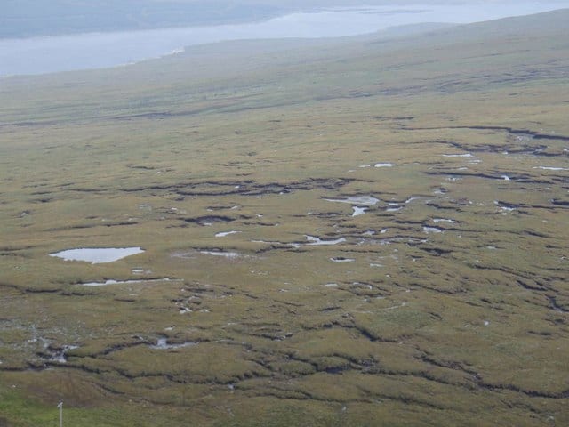
Photo: Graeme Smith, CC BY-SA 2.0, via Wikimedia Commons
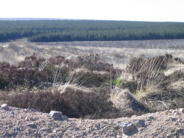
Photo: Rupert Fleetingly, CC BY-SA 2.0, via Geograph
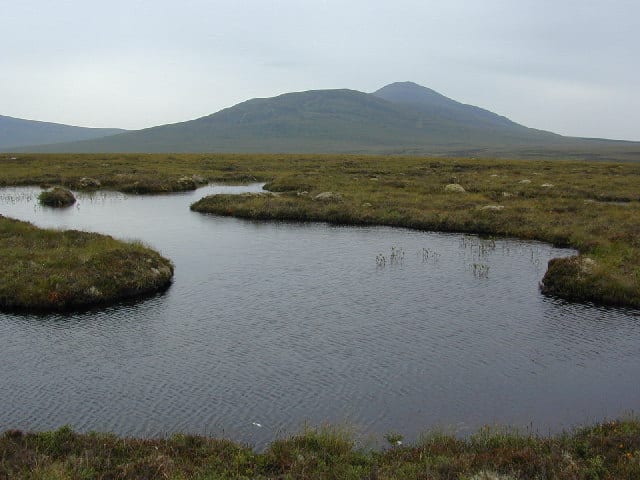
Photo: Steve Neal, CC BY-SA 2.0, via Geograph