





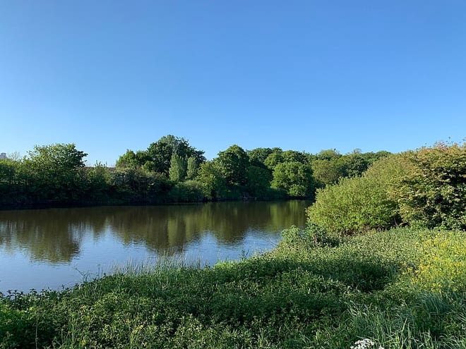
Althorpe Rail Station
- Special Area of Conservation
- River
- Canal
- Peaks nearby
- 6
- highest 77m
- Walking routes
- 3
- within 10 miles
What's on the doorstep
River TrentRiver · 0.1 mi (about 0.1 mi on foot)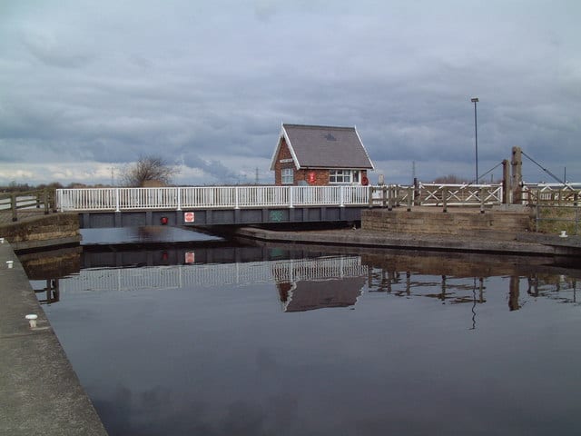 Stainforth and Keadby CanalCanal · 0.5 mi (about 0.6 to 0.7 mi on foot)
Also nearby
- Humber Estuary
Special Area of Conservation
Walking distances are estimates from the straight-line distance and the type of ground, not a measured route. Check a map before you set off.
About Althorpe Rail Station
Althorpe is a small village and former civil parish, now in the parish of Keadby with Althorpe, in the North Lincolnshire district, in the ceremonial county of Lincolnshire, England. It is four miles (6 km) west of Scunthorpe and the same distance south-east of Crowle, on the A18 road.
Source: Wikipedia, CC BY-SA.
Hills, trails and walks from the platform
Walking distances are estimates from the straight-line distance and the type of ground, not a measured route. Check a map before you set off.
| Sheffield's Hill | 77m | 5.3 mi (about 7 to 7.5 mi on foot) |
| Coleby Wood | 70m | 5.8 mi (about 7.5 to 8.5 mi on foot) |
| Walks End Hill | 69m | 6.1 mi (about 8 to 9 mi on foot) |
| Tower Hill | 42m | 8.4 mi (about 11 to 12 mi on foot) |
| Ash Holt | 75m | 8.5 mi (about 11 to 12.5 mi on foot) |
No National Trails within 10 miles.
Route data © OpenStreetMap contributors, ODbL – coverage and route quality vary by area.
| Trent Valley Way ↗Regional | 193.5 mi | 0.0 mi |
| Nev Cole Way ↗Regional | 56.1 mi | 4.9 mi |
| Trans-Pennine Trail (Selby to Hull) ↗Regional | 45.7 mi | 8.0 mi |