





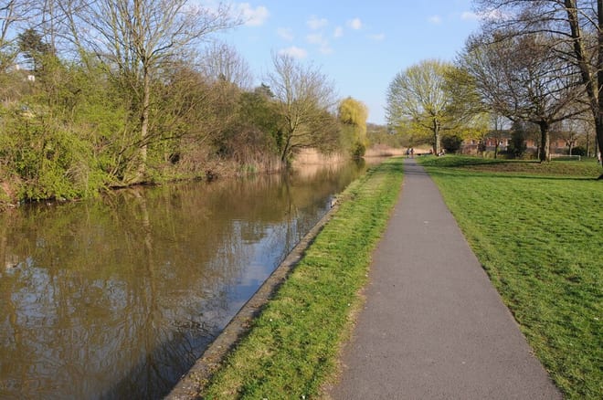
Alvechurch Rail Station
- Canal
- Peaks nearby
- 24
- highest 77m
- Walking routes
- 20
- within 10 miles
What's on the doorstep
Walking distances are estimates from the straight-line distance and the type of ground, not a measured route. Check a map before you set off.
About Alvechurch Rail Station
Alvechurch is a village and civil parish in the Bromsgrove district in Worcestershire, England. It is located in the valley of the River Arrow. The Lickey Hills Country Park is 3 miles to the northwest. It is 11 miles south of Birmingham, 5 mi (8 km) north of Redditch and 6 mi (10 km) east of Bromsgrove. At the 2001 census, the population was 5,316.
Hills, trails and walks from the platform
Walking distances are estimates from the straight-line distance and the type of ground, not a measured route. Check a map before you set off.
| Newbourne Hill | 177m | 1.1 mi (about 1.5 mi on foot) |
| Moorgreen Hill | 177m | 2.1 mi (about 2.5 to 3 mi on foot) |
| Caspidge Hill | 168m | 2.6 mi (about 3.5 to 4 mi on foot) |
| High Hill | 208m | 3.0 mi (about 4 to 4.5 mi on foot) |
| Ashborough Hill | 156m | 3.0 mi (about 4 to 4.5 mi on foot) |
No National Trails within 10 miles.
Route data © OpenStreetMap contributors, ODbL – coverage and route quality vary by area.
| Woodpecker Trail ↗Local | 2.2 mi | 1.8 mi |
| North Worcestershire Path ↗Regional | 36.0 mi | 2.2 mi |
| Monarch's Way ↗Regional | 573.3 mi | 2.3 mi |
| Miller's Trail ↗ | 2.6 mi | 2.5 mi |
| Moon's Moat Nature Trail ↗Local | 0.4 mi | 3.7 mi |