





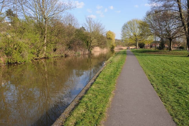
Photo: Philip Halling, CC BY-SA 2.0, via Geograph
The Worcester and Birmingham Canal runs 29 miles from the River Severn at Worcester to Gas Street Basin in Birmingham, through 58 locks including the 30 at Tardebigge. Kings Norton, University, Worcester Shrub Hill and Alvechurch stations give train access to the towpath.
There are 10 stations within reach of the Worcester and Birmingham Canal: within 2 miles of it, or half a mile in towns.
The Worcester and Birmingham Canal runs about 30 miles in our route data, including any river sections it follows. The stations below are in order along it.
Worcester and Birmingham Canal train stations
- Bournville
- University
- Five Ways
- Selly Oak
- Alvechurch0.1 mi (about 0.1 mi on foot)
- Worcester Shrub Hill0.2 mi (about 0.2 to 0.3 mi on foot)
- Worcester Foregate Street0.3 mi (about 0.4 mi on foot)
- Birmingham New Street0.3 mi (about 0.4 mi on foot)
- Kings Norton0.4 mi (about 0.5 to 0.6 mi on foot)
- Barnt Green0.9 mi (about 1 mi on foot)
Walking distances are estimates from the straight-line distance and the type of ground, not a measured route. Check a map before you set off.
Station-to-station walks
Walk the towpath from one station and catch the train back from another. Each station is shown with its nearest walk in each direction along the Worcester and Birmingham Canal, from 4 to 20 miles. Miles include the walk to and from each station.
| From | To | Distance | Time |
|---|---|---|---|
| Kings Norton | Five Ways | 5.5 mi | about 2 hours |
| Kings Norton | Birmingham New Street | 6 mi | about 2 hours |
Walks onto other canals
Start on the Worcester and Birmingham Canal and finish on another canal, changing at the junction where they meet.
| From | To | Distance | Time |
|---|---|---|---|
| Bournville | Smethwick Galton Bridgeon the Birmingham New Main Line Canal | 8 mi | about 2.5 hours |
| University | Whitlocks Endon the Stratford-upon-Avon Canal | 8 mi | about 2.5 hours |
Times use Naismith's rule and don't include stops.
Canal routes and towpaths © OpenStreetMap contributors.
More of Worcester and Birmingham Canal
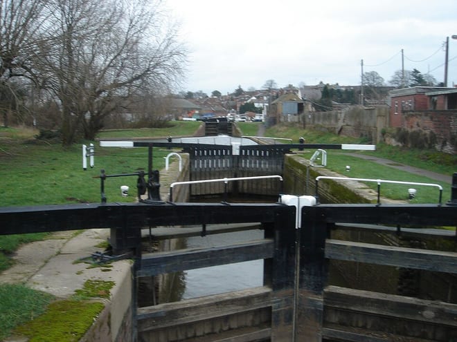
Photo: Ivan Lissitsyn at en.wikipedia, Public domain, via Wikimedia Commons
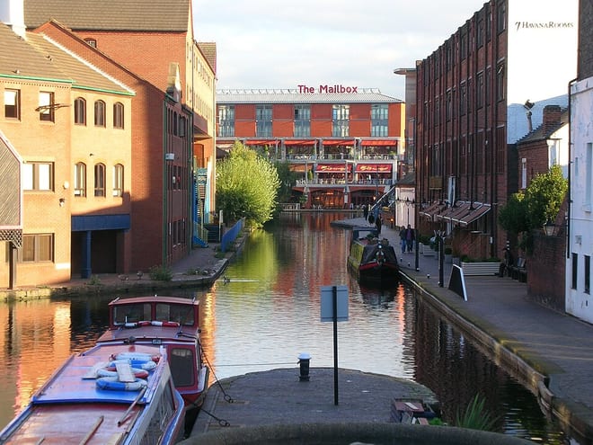
Photo: Original uploader was Oosoom at en.wikipedia, CC BY-SA 3.0, via Wikimedia Commons