





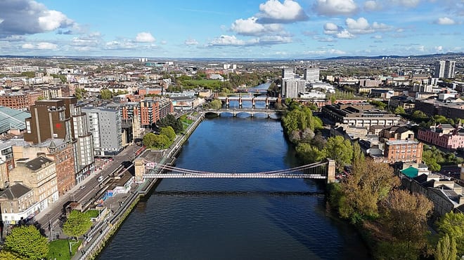
Anderston Rail Station
- River
- Peaks nearby
- 30
- highest 83m
- Walking routes
- 20
- within 10 miles
What's on the doorstep
Walking distances are estimates from the straight-line distance and the type of ground, not a measured route. Check a map before you set off.
About Anderston Rail Station
Anderston is an area within inner Glasgow, Scotland. It is on the north bank of the River Clyde and forms the south western edge of the city centre. Established as a village of handloom weavers in the early 18th century, Anderston was an independent burgh of barony from 1824 until it was incorporated into the City of Glasgow in 1846.
Source: Wikipedia, CC BY-SA.
Hills, trails and walks from the platform
Walking distances are estimates from the straight-line distance and the type of ground, not a measured route. Check a map before you set off.
| Dumbreck | 53m | 1.7 mi (about 2.5 mi on foot) |
| Ruchill | 83m | 1.8 mi (about 2.5 mi on foot) |
| Camp Hill [Queen's Park] | 64m | 2.0 mi (about 2.5 to 3 mi on foot) |
| Bellahouston Park | 50m | 2.1 mi (about 2.5 to 3 mi on foot) |
| Springburn Park | 111m | 2.7 mi (about 3.5 to 4 mi on foot) |
No National Trails within 10 miles.
Route data © OpenStreetMap contributors, ODbL – coverage and route quality vary by area.
| Whithorn Way - a Glasgow Cathedral to Girvan ↗Regional | 76.4 mi | 0.2 mi |
| Clyde Walkway ↗National | 38.6 mi | 0.2 mi |
| Kelvin Walkway ↗Local | 7.5 mi | 0.8 mi |
| Forth & Clyde/Union Canal Towpath ↗National | 63.1 mi | 2.3 mi |
| White Cart Walkway ↗Local | 6.3 mi | 2.6 mi |