





Appley Bridge Rail Station
- Canal
- River
- Peaks nearby
- 14
- highest 96m
- Walking routes
- 9
- within 10 miles
What's on the doorstep
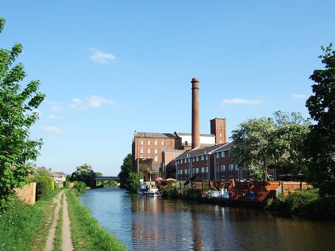
Leeds and Liverpool CanalCanal · 0.1 mi (about 0.1 mi on foot)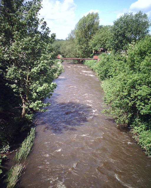 River DouglasRiver · 0.1 mi (about 0.1 to 0.2 mi on foot)
Walking distances are estimates from the straight-line distance and the type of ground, not a measured route. Check a map before you set off.
About Appley Bridge Rail Station
Appley Bridge is a village in West Lancashire, England. It straddles the borders of Greater Manchester and Lancashire, England. It is located off Junction 27 of the M6 motorway and is nestled in the Douglas Valley alongside the Leeds and Liverpool Canal.
Source: Wikipedia, CC BY-SA.
Hills, trails and walks from the platform
Walking distances are estimates from the straight-line distance and the type of ground, not a measured route. Check a map before you set off.
| Ashurst's Beacon | 172m | 1.7 mi (about 2 to 2.5 mi on foot) |
| Harrock Hill | 155m | 2.1 mi (about 3 mi on foot) |
| Billinge Hill (N Top) | 169m | 4.5 mi (about 6 to 6.5 mi on foot) |
| Billinge HillM | 179m | 4.9 mi (about 6.5 to 7 mi on foot) |
| Haigh | 161m | 5.1 mi (about 6.5 to 7.5 mi on foot) |
No National Trails within 10 miles.
Route data © OpenStreetMap contributors, ODbL – coverage and route quality vary by area.
| GM Ringway Stage 15 ↗Regional | 10.3 mi | 3.4 mi |
| GM Ringway Stage 16 ↗Regional | 10.1 mi | 4.2 mi |
| Wigan Way ↗ | 0.1 mi | 4.4 mi |
| Adlington Circular Walk ↗ | 1.6 mi | 5.0 mi |
| Rainford Linear Park ↗ | 2.2 mi | 5.1 mi |