






Arrochar & Tarbet Rail Station
- National Park
- National Scenic Area
- Scotland's Great Trail
- Lake or reservoir
- Special Area of Conservation
- Peaks nearby
- 30
- highest 974m
- Walking routes
- 17
- within 10 miles
What's on the doorstep
Loch Lomond and The Trossachs National ParkNational Park Loch LomondNational Scenic Area
 Three Lochs WayScotland's Great Trail · 0.1 mi (about 0.1 mi on foot)
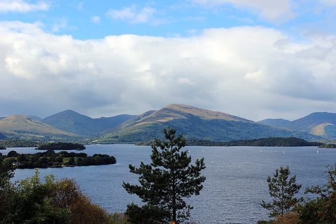 Loch LomondLake or reservoir · 0.6 mi (about 0.7 to 0.8 mi on foot)
 Loch Lomond and Cowal WayScotland's Great Trail · 0.8 mi (about 1 mi on foot)
 Great Trossachs PathScotland's Great Trail · 3.0 mi (about 3.5 to 4 mi on foot)
Also nearby
Walking distances are estimates from the straight-line distance and the type of ground, not a measured route. Check a map before you set off.
About Arrochar & Tarbet Rail Station
Arrochar and Tarbet railway station is a railway station on the West Highland Line in Scotland. It stands at the western (Arrochar) end of Tarbet. It is sited 19 miles 45 chains (31.5 km) from Craigendoran Junction, near Helensburgh, between Ardlui and Garelochhead. ScotRail manage the station and operate most services, with others provided by Caledonian Sleeper.
Hills, trails and walks from the platform
Walking distances are estimates from the straight-line distance and the type of ground, not a measured route. Check a map before you set off.
| Cruach TairbeirtM | 415m | 0.8 mi (about 1 mi on foot) |
| Cruach Tairbeirt North Top | 307m | 1.4 mi (about 2 mi on foot) |
| Ben Reoch | 660m | 1.6 mi (about 2 to 2.5 mi on foot) |
| Ben Reoch East Top | 631m | 1.7 mi (about 2.5 mi on foot) |
| Kenmore Hill | 254m | 2.1 mi (about 2.5 to 3 mi on foot) |
No National Trails within 10 miles.
Route data © OpenStreetMap contributors, ODbL – coverage and route quality vary by area.
| Cruach Tairbeirt ↗Local | 1.1 mi | 0.0 mi |
| The Hidden Heritage Trail ↗Local | 4.0 mi | 0.1 mi |
| Three Lochs Way ↗National | 33.6 mi | 0.1 mi |
| Mary Queen of Scots Way ↗Regional | 25.8 mi | 0.8 mi |
| Loch Lomond and Cowal Way ↗National | 56.5 mi | 0.8 mi |