





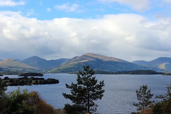
Photo: Mimihitam, CC BY-SA 3.0, via Wikimedia Commons
There are 12 stations within 5 miles of Loch Lomond.
Loch Lomond has about 62 miles of shore in our map data, with a path along part of it.
Loch Lomond train stations
- Ardlui
- Balloch0.3 mi (about 0.4 mi on foot)
- Arrochar & Tarbet0.6 mi (about 0.7 to 0.8 mi on foot)
- Alexandria1.5 mi (about 2 mi on foot)
- Renton2.4 mi (about 3 to 3.5 mi on foot)
- Cardross3.9 mi (about 4.5 to 5 mi on foot)
- Craigendoran3.9 mi (about 4.5 to 5 mi on foot)
- Helensburgh Upper4.0 mi (about 5 to 5.5 mi on foot)
- Dalreoch4.1 mi (about 5 to 5.5 mi on foot)
- Dumbarton Central4.2 mi (about 5 to 5.5 mi on foot)
- Helensburgh Central4.3 mi (about 5 to 6 mi on foot)
- Dumbarton East4.6 mi (about 5.5 to 6 mi on foot)
Walking distances are estimates from the straight-line distance and the type of ground, not a measured route. Check a map before you set off.
There-and-back walks
The lakeside path doesn't go all the way round Loch Lomond, so these walks head out along it and come back the same way. Miles include the walk to and from the station, up to 20 miles in all; turn round sooner for a shorter walk.
| Station | Along the lakeside path | Distance | Time |
|---|---|---|---|
| Ardlui2 mi on foot each way to the shore | 5.9 mi and back | 16 to 16.5 mi | about 5.5 hours |
| Arrochar & Tarbet1 to 1.5 mi on foot each way to the shore | 2.0 mi and back | 6.5 mi | about 2 hours |
| Balloch0.7 to 0.8 mi on foot each way to the shore | 2.0 mi and back | 5.5 mi | about 2 hours |
Times use Naismith's rule and don't include stops.
Lake outlines and lakeside paths © OpenStreetMap contributors.
About Loch Lomond
Loch Lomond is a freshwater Scottish loch that spans the Highland Boundary Fault, often considered the boundary between the Lowlands and Highlands of Scotland. Traditionally forming part of the boundary between the counties of Stirlingshire and Dunbartonshire, it is today split between the council areas of Stirling, Argyll and Bute and West Dunbartonshire. Its southern shores are about 23 kilometres (14 mi) northwest of the centre of Glasgow, Scotland's largest city. The loch forms part of Loch Lomond and The Trossachs National Park, which was established in 2002. From a limnological perspective, Loch Lomond is classified as a dimictic lake, typically undergoing two mixing periods each year. This occurs in the spring and autumn when the water column becomes uniformly mixed due to temperature-driven density changes
Source: Wikipedia, CC BY-SA.
More of Loch Lomond
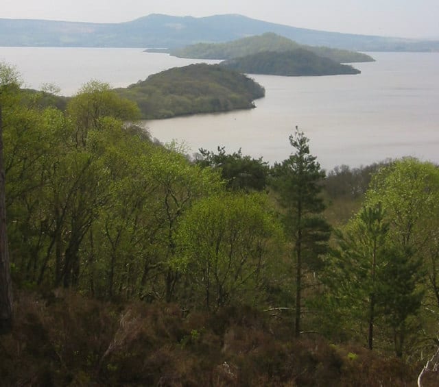
Photo: Donald Thomas, CC BY-SA 2.0, via Wikimedia Commons
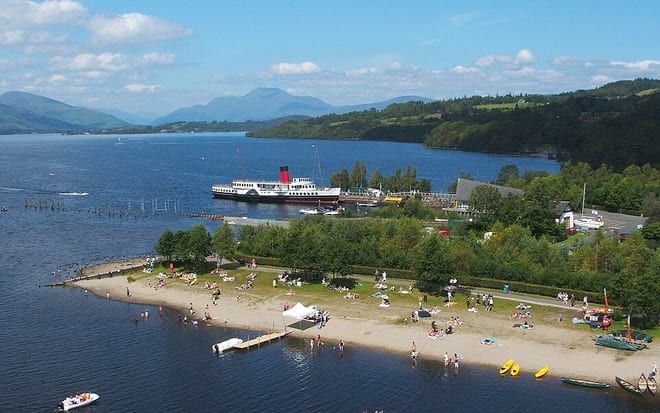
Photo: Lairich Rig, CC BY-SA 2.0, via Geograph
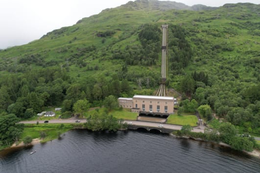
Photo: Michael.Kramer, CC BY-SA 3.0, via Wikimedia Commons