





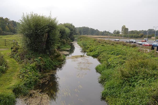
Arlesey Rail Station
- River
- Peaks nearby
- 6
- highest 88m
- Walking routes
- 20
- within 10 miles
What's on the doorstep
Walking distances are estimates from the straight-line distance and the type of ground, not a measured route. Check a map before you set off.
About Arlesey Rail Station
Arlesey is a town and civil parish in the Central Bedfordshire district of Bedfordshire, England. It is near the border with Hertfordshire, about three miles (4.8 km) north-west of Letchworth Garden City, four miles (6.4 km) north of Hitchin and six miles (9.7 km) south of Biggleswade. Arlesey railway station provides services to London, Stevenage and Peterborough. The Domesday Book of 1086 mentions Arlesey. The town's name means the 'island of a man named Aelfric'.
Hills, trails and walks from the platform
Walking distances are estimates from the straight-line distance and the type of ground, not a measured route. Check a map before you set off.
| Topler's Hill | 76m | 2.1 mi (about 2.5 to 3 mi on foot) |
| Meppershall Hill | 88m | 3.7 mi (about 5 to 5.5 mi on foot) |
| Telegraph Hill | 184m | 7.2 mi (about 9.5 to 10.5 mi on foot) |
| Therfield Hill | 169m | 8.8 mi (about 11.5 to 12.5 mi on foot) |
| Whitehill (Butterfield Green) | 178m | 9.4 mi (about 12.5 to 13.5 mi on foot) |
No National Trails within 10 miles.
Route data © OpenStreetMap contributors, ODbL – coverage and route quality vary by area.
| Kingfisher Way ↗Local | 20.6 mi | 0.0 mi |
| Etonbury Green Wheel ↗Local | 11.1 mi | 0.0 mi |
| Hicca Way ↗ | 11.5 mi | 0.0 mi |
| Letchworth Greenway ↗ | 13.8 mi | 2.3 mi |
| Garden City 15 ↗ | 4.0 mi | 2.4 mi |