





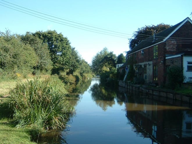
Atherstone Rail Station
- Canal
- Peaks nearby
- 12
- highest 188m
- Walking routes
- 20
- within 10 miles
What's on the doorstep
About Atherstone Rail Station
Atherstone is a market town and civil parish in the North Warwickshire district of Warwickshire, England. Located in the far north of the county, Atherstone is on the A5 national route, and is adjacent to the border with Leicestershire which is here formed by the River Anker. It is situated between the larger towns of Tamworth and Nuneaton. Atherstone is the administrative centre of the North Warwickshire district, with the offices of North Warwickshire Borough Council located in the town.
Hills, trails and walks from the platform
Walking distances are estimates from the straight-line distance and the type of ground, not a measured route. Check a map before you set off.
| Bentley Common | 178m | 1.6 mi (about 2 to 2.5 mi on foot) |
| Oldbury Hill | 188m | 2.0 mi (about 2.5 to 3 mi on foot) |
| Hartshill Pyramid | 152m | 2.7 mi (about 3.5 to 4 mi on foot) |
| Baddesley Colliery | 148m | 3.6 mi (about 4.5 to 5 mi on foot) |
| The Round Berry | 114m | 3.9 mi (about 5 to 5.5 mi on foot) |
No National Trails within 10 miles.
Route data © OpenStreetMap contributors, ODbL – coverage and route quality vary by area.
| Quarrymans Walk ↗ | 6.1 mi | 2.2 mi |
| North Arden Trail - Parish Loop ↗Local | 1.9 mi | 2.2 mi |
| Centenary Way ↗Regional | 99.2 mi | 2.2 mi |
| North Arden Heritage Trail ↗Regional | 8.6 mi | 3.6 mi |
| Heart of England Way ↗Regional | 103.6 mi | 4.4 mi |