






Beccles Rail Station
- National Park
- River
- Peaks nearby
- 1
- highest 34m
- Walking routes
- 20
- within 10 miles
What's on the doorstep
The BroadsNational Park · 0.3 mi (about 0.4 mi on foot)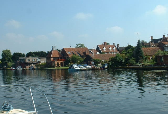 River WaveneyRiver · 0.4 mi (about 0.4 to 0.5 mi on foot)
Walking distances are estimates from the straight-line distance and the type of ground, not a measured route. Check a map before you set off.
About Beccles Rail Station
Beccles is a market town and civil parish in the East Suffolk district, in the county of Suffolk, England. The town is located along the A145 and A12 roads, situated 16 miles (26 km) south-east of Norwich and 33 miles (53 km) north-northeast of Ipswich. Nearby towns include Lowestoft to the east and Great Yarmouth to the north-east. The town lies on the River Waveney on the edge of The Broads National Park.
Hills, trails and walks from the platform
Walking distances are estimates from the straight-line distance and the type of ground, not a measured route. Check a map before you set off.
| Normanston Hill | 34m | 7.5 mi (about 9.5 to 11 mi on foot) |
No National Trails within 10 miles.
Route data © OpenStreetMap contributors, ODbL – coverage and route quality vary by area.
| Via Beata ↗Regional | 71.8 mi | 0.3 mi |
| Beccles and Geldeston circular walk ↗Local | 7.3 mi | 0.3 mi |
| Angles Way ↗Regional | 92.8 mi | 0.3 mi |
| Beccles Marsh Green Trail ↗Local | 4.4 mi | 0.5 mi |
| Beccles Marsh Red Trail ↗Local | 3.1 mi | 0.5 mi |