





Birmingham New Street Rail Station
- Canal
- Lake or reservoir
- Peaks nearby
- 21
- highest 316m
- Walking routes
- 20
- within 10 miles
What's on the doorstep
Worcester and Birmingham CanalCanal · 0.3 mi (about 0.4 mi on foot)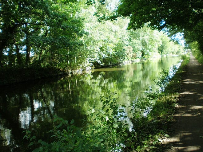 Birmingham New Main Line CanalCanal · 0.4 mi (about 0.5 to 0.6 mi on foot)
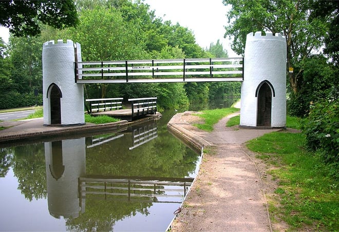 Birmingham and Fazeley CanalCanal · 0.4 mi (about 0.5 to 0.6 mi on foot)
Also nearby
Walking distances are estimates from the straight-line distance and the type of ground, not a measured route. Check a map before you set off.
About Birmingham New Street Rail Station
Birmingham New Street, also known as New Street station, is the largest and busiest of the three main railway stations in Birmingham city centre, England. It is a central hub of the British railway system. The station is a major destination for Avanti West Coast services from London Euston, Preston, Glasgow Central and Edinburgh Waverley, and West Midlands Trains services from Liverpool Lime Street and London Euston both via the West Coast Main Line. The CrossCountry network centres on New Street, as well as local and suburban services within the West Midlands; these include those on the Cross-City Line between Lichfield Trent Valley, Redditch and Bromsgrove, the Chase Line to Walsall and Rugeley Trent Valley, and the Camp Hill line to Kings Norton. The three-letter station code is BHM.
Hills, trails and walks from the platform
Walking distances are estimates from the straight-line distance and the type of ground, not a measured route. Check a map before you set off.
| Warley Park | 236m | 3.8 mi (about 5 to 5.5 mi on foot) |
| Frankley Beeches | 256m | 6.4 mi (about 8.5 to 9.5 mi on foot) |
| Turner's Hill | 271m | 6.4 mi (about 8.5 to 9.5 mi on foot) |
| High Hill | 208m | 6.6 mi (about 8.5 to 9.5 mi on foot) |
| Barr Beacon | 227m | 6.6 mi (about 8.5 to 9.5 mi on foot) |
No National Trails within 10 miles.
Route data © OpenStreetMap contributors, ODbL – coverage and route quality vary by area.
| Manufacturing & Migration Walk ↗Local | 2.2 mi | 0.1 mi |
| James Watt City Centre Walk ↗Local | 1.7 mi | 0.2 mi |
| Lunar Society Birmingham Heritage Trail ↗Local | 2.0 mi | 0.2 mi |
| Colmore Art Trail ↗Local | 1.4 mi | 0.2 mi |
| Matthew Boulton Trail ↗Local | 2.3 mi | 0.2 mi |