





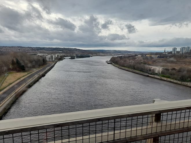
Blaydon Rail Station
- River
- National Trail
- Peaks nearby
- 21
- highest 94m
- Walking routes
- 21
- within 10 miles
What's on the doorstep
River Tyne (Northumberland)River · 0.1 mi (about 0.1 mi on foot) Hadrian's Wall PathNational Trail · 0.7 mi (about 0.8 to 0.9 mi on foot)
Walking distances are estimates from the straight-line distance and the type of ground, not a measured route. Check a map before you set off.
About Blaydon Rail Station
Blaydon is a town in the Metropolitan Borough of Gateshead, Tyne and Wear, England, and historically in County Durham. Blaydon, and neighbouring Winlaton, which Blaydon is now contiguous with, form the town of Blaydon-on-Tyne. The Blaydon/Winlaton ward had a population in 2011 of 13,896.
Source: Wikipedia, CC BY-SA.
Hills, trails and walks from the platform
Walking distances are estimates from the straight-line distance and the type of ground, not a measured route. Check a map before you set off.
| Westerhope Hill Heads | 133m | 2.1 mi (about 3 mi on foot) |
| Blackmoor Hill | 227m | 3.6 mi (about 4.5 to 5 mi on foot) |
| Heddon Common | 151m | 4.1 mi (about 5.5 to 6 mi on foot) |
| Burdon Moor | 216m | 4.1 mi (about 5.5 to 6 mi on foot) |
| Heddon Laws | 152m | 4.6 mi (about 6 to 6.5 mi on foot) |
| Hadrian's Wall Path ↗ | 85.8 mi | 0.7 mi |
Route data © OpenStreetMap contributors, ODbL – coverage and route quality vary by area.
| Hadrian's Wall Path ↗National | 86.7 mi | 0.7 mi |
| Red Kite Trail ↗Local | 11.6 mi | 1.6 mi |
| Tyne and Wear Heritage Way Section 6 ↗Regional | 8.3 mi | 1.8 mi |
| Valley Views Trail, Gibside ↗Local | 4.3 mi | 2.5 mi |
| Heritage Trails: Wall ↗Local | 1.6 mi | 3.7 mi |