





Blackburn Rail Station
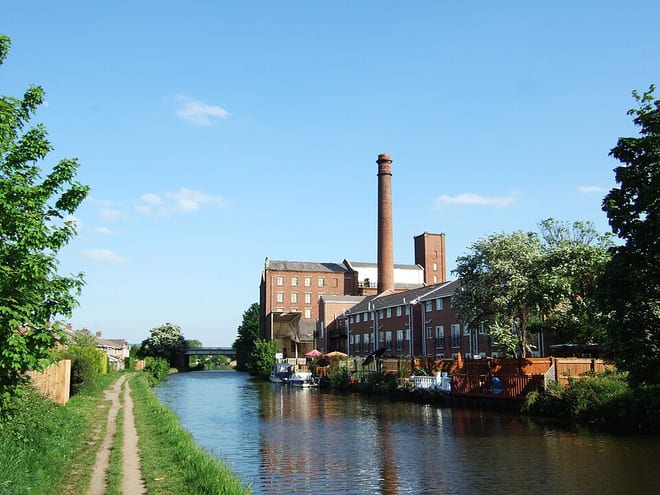
- Canal
- Peaks nearby
- 30
- highest 457m
- Walking routes
- 21
- within 10 miles
What's on the doorstep
Walking distances are estimates from the straight-line distance and the type of ground, not a measured route. Check a map before you set off.
About Blackburn Rail Station
Blackburn is an industrial town and the administrative centre of the Blackburn with Darwen borough, in Lancashire, England. The town lies north of the West Pennine Moors on the southern edge of the Ribble Valley, 8 miles (13 km) east of Preston and 21 miles (34 km) north-north-west of Manchester. Blackburn is at the centre of the wider unitary authority area along with the town of Darwen. It is the second-largest town in Lancashire, after Blackpool.
Hills, trails and walks from the platform
Walking distances are estimates from the straight-line distance and the type of ground, not a measured route. Check a map before you set off.
| Revidge | 229m | 1.1 mi (about 1.5 mi on foot) |
| Billinge Hill | 245m | 1.7 mi (about 2 to 2.5 mi on foot) |
| Bog Bank | 232m | 2.3 mi (about 3 to 3.5 mi on foot) |
| Height House Hill | 240m | 2.5 mi (about 3 to 3.5 mi on foot) |
| Mellor Moor | 223m | 2.7 mi (about 3.5 to 4 mi on foot) |
| Pennine Bridleway ↗ | 206.0 mi | 9.5 mi |
Route data © OpenStreetMap contributors, ODbL – coverage and route quality vary by area.
| Beamers Trail - Witton Weavers Way ↗Local | 6.3 mi | 1.5 mi |
| Reelers Trail - Witton Weavers Way ↗Local | 8.1 mi | 2.1 mi |
| The Ribble Valley Jubilee Trail ↗Regional | 63.1 mi | 2.1 mi |
| Full walk - Witton Weavers Way ↗ | 5.6 mi | 3.0 mi |
| Tacklers Trail - Witton Weavers Way ↗Local | 9.7 mi | 3.1 mi |