






Bentley (Hants) Rail Station
- National Park
- River
- Peaks nearby
- 22
- highest 272m
- Walking routes
- 21
- within 10 miles
What's on the doorstep
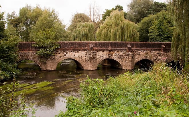
Walking distances are estimates from the straight-line distance and the type of ground, not a measured route. Check a map before you set off.
About Bentley (Hants) Rail Station
Bentley is a village and civil parish in the East Hampshire district of Hampshire, England. The parish has changed little over centuries and currently measures 2,299 acres (9.30 km2), the same size it measured in 1875 when the population was 731 The village is north of the A31 road between Farnham and Alton, about five miles (8 km) southwest of Farnham and six miles (10 km) northeast of Alton. The village is served by Bentley railway station, which is about one mile (1.6 km) to the south, in the parish of Binsted against Alice Holt Forest.
Hills, trails and walks from the platform
Walking distances are estimates from the straight-line distance and the type of ground, not a measured route. Check a map before you set off.
| Lodge Inclosure | 128m | 0.4 mi (about 0.5 to 0.6 mi on foot) |
| River Hill | 149m | 1.1 mi (about 1.5 mi on foot) |
| Horsedown Common | 165m | 3.5 mi (about 4.5 to 5 mi on foot) |
| Holybourne Down | 225m | 4.2 mi (about 5.5 to 6 mi on foot) |
| Bricksbury Hill | 191m | 4.6 mi (about 6 to 6.5 mi on foot) |
| North Downs Way ↗ | 158.9 mi | 3.9 mi |
Route data © OpenStreetMap contributors, ODbL – coverage and route quality vary by area.
| The Shipwrights Way ↗Regional | 51.4 mi | 0.0 mi |
| Alice Holt Forest: Adaptation Trail ↗Local | 1.7 mi | 0.4 mi |
| St Swithun's Way ↗Regional | 33.8 mi | 0.8 mi |
| Food and Farming Trails ↗ | 2.3 mi | 0.9 mi |
| Alice Holt Forest: Lodge Pond Trail ↗Local | 2.5 mi | 1.2 mi |