





Bournville Rail Station
- Canal
- Lake or reservoir
- Peaks nearby
- 22
- highest 316m
- Walking routes
- 20
- within 10 miles
What's on the doorstep
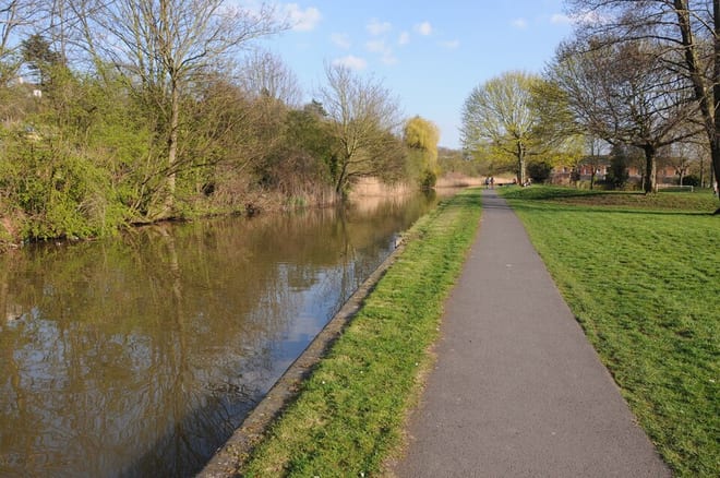
Worcester and Birmingham CanalCanalAlso nearby
Walking distances are estimates from the straight-line distance and the type of ground, not a measured route. Check a map before you set off.
About Bournville Rail Station
Bournville is a 19th century model village on the southwest side of Birmingham, England, founded by the Quaker Cadbury family for employees at its Cadbury's factory, and designed to be a "garden" village where the sale of alcohol was forbidden. Historically in northern Worcestershire, it is also a ward within the council constituency of Selly Oak and home to the Bournville Centre for Visual Arts and the Cadbury's chocolate factory. Bournville is regarded as one of the most desirable areas to live in the United Kingdom; research by the Joseph Rowntree Foundation in 2003 found that it was "one of the nicest places to live in Britain".
Hills, trails and walks from the platform
Walking distances are estimates from the straight-line distance and the type of ground, not a measured route. Check a map before you set off.
| High Hill | 208m | 2.9 mi (about 4 mi on foot) |
| Frankley Beeches | 256m | 3.7 mi (about 5 to 5.5 mi on foot) |
| Warley Park | 236m | 3.9 mi (about 5 to 5.5 mi on foot) |
| Rednal Hill North Top | 250m | 4.4 mi (about 5.5 to 6.5 mi on foot) |
| Moorgreen Hill | 177m | 4.5 mi (about 6 to 6.5 mi on foot) |
No National Trails within 10 miles.
Route data © OpenStreetMap contributors, ODbL – coverage and route quality vary by area.
| Bournville Heritage Walk ↗Local | 1.2 mi | 0.2 mi |
| Selly Oak Park Nature Trail ↗Local | 0.7 mi | 1.3 mi |
| Birmingham Platinum Jubilee Walkway ↗Local | 10.4 mi | 1.4 mi |
| Bourn Brook Walkway ↗Local | 3.5 mi | 1.5 mi |
| Balsall Heath Tree Trail West ↗Local | 1.2 mi | 2.5 mi |