





Brighouse Rail Station
- River
- Canal
- Peaks nearby
- 30
- highest 74m
- Walking routes
- 20
- within 10 miles
What's on the doorstep
River Calder (West Yorkshire)River · 0.1 mi (about 0.1 mi on foot)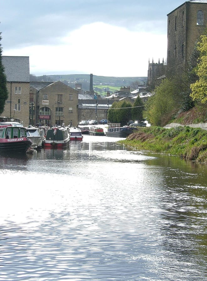 Calder and Hebble NavigationCanal · 0.2 mi (about 0.2 mi on foot)
Walking distances are estimates from the straight-line distance and the type of ground, not a measured route. Check a map before you set off.
About Brighouse Rail Station
Brighouse is a town within the metropolitan borough of Calderdale, in West Yorkshire, England. Historically within the West Riding of Yorkshire, it is situated on the River Calder, 4 miles (6.4 km) east of Halifax. It is served by Junction 25 of the M62 motorway and Brighouse railway station on the Caldervale Line and Huddersfield Line. In the town centre is a mooring basin on the Calder and Hebble Navigation. The United Kingdom Census 2001 gave the Brighouse / Rastrick subdivision of the West Yorkshire Urban Area a population of 32,360. The Brighouse ward of Calderdale Council had a population of 11,195 at the 2011 Census. Brighouse has an HD6 postcode, despite being associated with Halifax for local government.
Hills, trails and walks from the platform
Walking distances are estimates from the straight-line distance and the type of ground, not a measured route. Check a map before you set off.
| Fixby Ridge | 265m | 2.1 mi (about 3 mi on foot) |
| Bank Top | 261m | 2.8 mi (about 3.5 to 4 mi on foot) |
| Beacon Hill | 261m | 3.2 mi (about 4 to 4.5 mi on foot) |
| Dalton Fold | 129m | 3.3 mi (about 4.5 to 5 mi on foot) |
| Round Wood Hill | 103m | 3.9 mi (about 5 to 5.5 mi on foot) |
No National Trails within 10 miles.
Route data © OpenStreetMap contributors, ODbL – coverage and route quality vary by area.
| Calderdale Way ↗Regional | 50.9 mi | 0.2 mi |
| Brighouse Boundary Walk ↗Local | 20.2 mi | 0.5 mi |
| Kirklees Way ↗Regional | 76.1 mi | 1.1 mi |
| Bronte Way ↗Regional | 44.1 mi | 1.1 mi |
| Riverside Way ↗Local | 3.3 mi | 2.3 mi |