






Berney Arms Rail Station
- National Park
- River
- Special Area of Conservation
- Peaks nearby
- 1
- highest 34m
- Walking routes
- 20
- within 10 miles
What's on the doorstep
The BroadsNational Park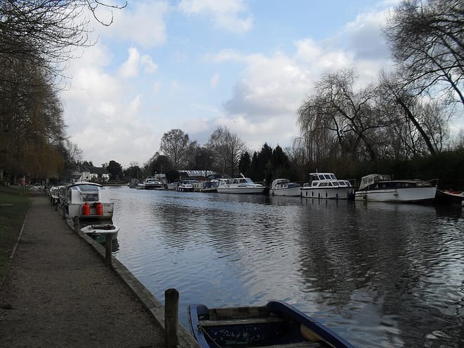 River YareRiver · 0.4 mi (about 0.5 mi on foot)
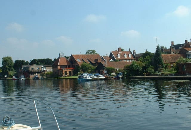 River WaveneyRiver · 0.7 mi (about 0.8 to 0.9 mi on foot)
Also nearby
Walking distances are estimates from the straight-line distance and the type of ground, not a measured route. Check a map before you set off.
About Berney Arms Rail Station
Berney Arms is a settlement on the north bank of the River Yare, close to Breydon Water in the English county of Norfolk. It is part of the civil parish of Reedham, in the district of Broadland, and lies within The Broads. It comprises a railway station, a windmill, a farmhouse and a pub which closed in late 2015. In 2020, an adjacent property opened as a bistro. The area is not accessible by public road.
Hills, trails and walks from the platform
Walking distances are estimates from the straight-line distance and the type of ground, not a measured route. Check a map before you set off.
| Normanston Hill | 34m | 8.4 mi (about 11 to 12 mi on foot) |
No National Trails within 10 miles.
Route data © OpenStreetMap contributors, ODbL – coverage and route quality vary by area.
| Weavers’ Way ↗Regional | 61.5 mi | 0.0 mi |
| Wherry Lines Walk 9 ↗Local | 5.6 mi | 0.0 mi |
| Wherryman's Way ↗Regional | 40.2 mi | 0.4 mi |
| Cross-Norfolk Trail ↗ | 96.5 mi | 0.4 mi |
| Angles Way ↗Regional | 92.8 mi | 0.8 mi |