





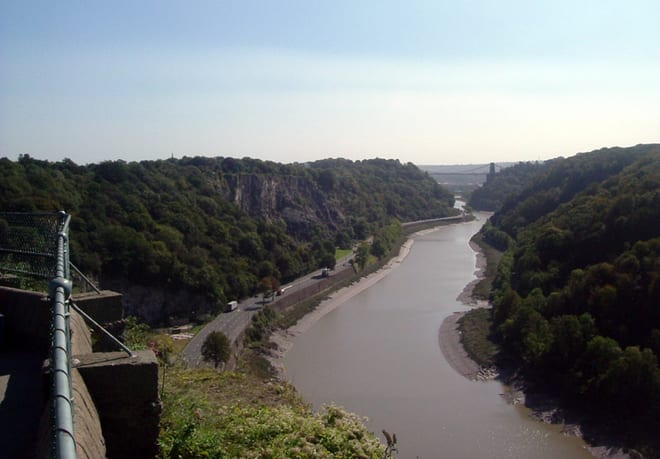
Bristol Temple Meads Rail Station
- River
- Disused railway
- Peaks nearby
- 27
- highest 99m
- Walking routes
- 21
- within 10 miles
What's on the doorstep
Walking distances are estimates from the straight-line distance and the type of ground, not a measured route. Check a map before you set off.
About Bristol Temple Meads Rail Station
Bristol Temple Meads is the oldest and largest railway station in Bristol, England. It is located 118 miles 31 chains away from London Paddington. It is an important transport hub for public transport in the city; there are bus services to many parts of the city and surrounding districts, with a ferry to the city centre. It is the busiest station in South West England, and the fifth busiest in Southern England outside of London. Bristol's other major station, Bristol Parkway, is a more recent station on the northern outskirts of the conurbation.
Hills, trails and walks from the platform
Walking distances are estimates from the straight-line distance and the type of ground, not a measured route. Check a map before you set off.
| Observatory Hill | 102m | 2.0 mi (about 2.5 to 3 mi on foot) |
| Durdham Down | 99m | 2.2 mi (about 3 mi on foot) |
| Mount Hill | 116m | 3.2 mi (about 4 to 4.5 mi on foot) |
| Hopewell Hill | 116m | 3.3 mi (about 4.5 to 5 mi on foot) |
| Maes Knoll (boundary) [Dundry Hill East] | 160m | 3.4 mi (about 4.5 to 5 mi on foot) |
| Cotswold Way ↗ | 106.3 mi | 7.2 mi |
Route data © OpenStreetMap contributors, ODbL – coverage and route quality vary by area.
| Kennet and Avon Canal Trail ↗Regional | 96.3 mi | 0.0 mi |
| Bristol Triangular City Walk ↗Local | 18.8 mi | 0.0 mi |
| River Avon Trail ↗Regional | 26.0 mi | 0.0 mi |
| Monarch's Way ↗Regional | 573.3 mi | 0.1 mi |
| Frome Valley Walkway ↗Local | 19.3 mi | 0.5 mi |