





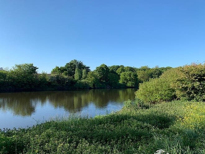
Burton Joyce Rail Station
- River
- Peaks nearby
- 12
- highest 97m
- Walking routes
- 20
- within 10 miles
What's on the doorstep
Walking distances are estimates from the straight-line distance and the type of ground, not a measured route. Check a map before you set off.
About Burton Joyce Rail Station
Burton Joyce is a large village and civil parish in the Gedling district of Nottinghamshire, England, 7 miles (11 km) east of Nottingham, between Stoke Bardolph to the south and Bulcote to the north-east. The A612 links it to Carlton and Netherfield to the south-west and Lowdham to the north-east. Initially the site of an Iron age fort, it was occupied by Norman nobility, who founded St Helen's Church. From being a farming community, Burton Joyce grew in the early Industrial Revolution, earning repute up to the 1920s for its textile products. Many of its 3,500 inhabitants commute to work in Nottingham. It forms with Stoke Bardoph and Bulcote the Trent Valley ward of Gedling, with two councillors.
Hills, trails and walks from the platform
Walking distances are estimates from the straight-line distance and the type of ground, not a measured route. Check a map before you set off.
| Dewberry Hill | 79m | 2.8 mi (about 3.5 to 4 mi on foot) |
| Mapperley | 130m | 3.5 mi (about 4.5 to 5 mi on foot) |
| Old Hill | 77m | 3.6 mi (about 4.5 to 5.5 mi on foot) |
| Ramsdale Hill | 157m | 4.4 mi (about 6 to 6.5 mi on foot) |
| Loath Hill | 144m | 6.5 mi (about 8.5 to 9.5 mi on foot) |
No National Trails within 10 miles.
Route data © OpenStreetMap contributors, ODbL – coverage and route quality vary by area.
| Trent Valley Way ↗Regional | 193.5 mi | 0.8 mi |
| Waymarked Trail 3 ↗ | 2.5 mi | 3.0 mi |
| Waymarked Trail 2 ↗ | 2.0 mi | 3.0 mi |
| Colwick Parkrun ↗ | 2.5 mi | 3.0 mi |
| Mallard Trail ↗Local | 0.4 mi | 3.0 mi |