





Cathays Rail Station
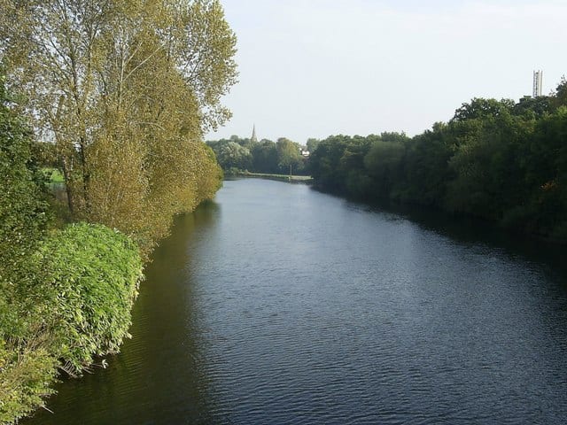
- River
- Lake or reservoir
- Peaks nearby
- 30
- highest 81m
- Walking routes
- 9
- within 10 miles
What's on the doorstep
Walking distances are estimates from the straight-line distance and the type of ground, not a measured route. Check a map before you set off.
About Cathays Rail Station
Cathays is a district and community in the centre of Cardiff, capital of Wales. It is an old suburb of Cardiff established in 1875. It is densely populated and contains many Victorian terraced houses. The area falls into the Cathays ward. It is the third most populous community in Cardiff, having a population of 18,002 in 2011.
Source: Wikipedia, CC BY-SA.
Hills, trails and walks from the platform
Walking distances are estimates from the straight-line distance and the type of ground, not a measured route. Check a map before you set off.
| Cock Hill | 115m | 2.3 mi (about 3 to 3.5 mi on foot) |
| Penarth Head Hill | 73m | 3.3 mi (about 4.5 to 5 mi on foot) |
| Wenvoe Hill | 119m | 3.7 mi (about 5 to 5.5 mi on foot) |
| Dinas Powis | 69m | 3.8 mi (about 5 to 5.5 mi on foot) |
| Park Wood Hill | 117m | 3.9 mi (about 5 to 5.5 mi on foot) |
No National Trails within 10 miles.
Route data © OpenStreetMap contributors, ODbL – coverage and route quality vary by area.
| Cambrian Way ↗National | 300.1 mi | 0.4 mi |
| Taff Trail ↗Regional | 63.0 mi | 0.5 mi |
| Wales Coast Path (South Wales) ↗National | 113.6 mi | 1.0 mi |
| Penrhys Pilgrimage ↗ | 20.4 mi | 1.8 mi |
| Rhymney Valley Ridgeway Walk ↗Regional | 28.0 mi | 4.7 mi |