





Cathcart Rail Station
- River
- Peaks nearby
- 30
- highest 83m
- Walking routes
- 20
- within 10 miles
What's on the doorstep
About Cathcart Rail Station
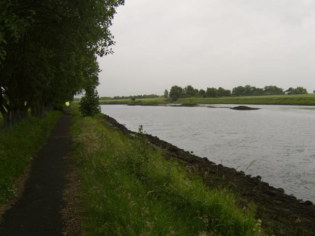
Cathcart is an area of Glasgow between Battlefield, Mount Florida, King's Park, Muirend and Newlands. The White Cart Water flows through Cathcart, downstream from Linn Park. In 2014, it was rated one of the most attractive postcode areas to live in Scotland.
Source: Wikipedia, CC BY-SA.
Hills, trails and walks from the platform
Walking distances are estimates from the straight-line distance and the type of ground, not a measured route. Check a map before you set off.
| Camp Hill [Queen's Park] | 64m | 1.0 mi (about 1.5 mi on foot) |
| Dumbreck | 53m | 2.2 mi (about 3 mi on foot) |
| Cathkin Braes | 200m | 2.3 mi (about 3 to 3.5 mi on foot) |
| Bellahouston Park | 50m | 3.0 mi (about 4 to 4.5 mi on foot) |
| South Cathkin Hill | 227m | 3.3 mi (about 4.5 to 5 mi on foot) |
No National Trails within 10 miles.
Route data © OpenStreetMap contributors, ODbL – coverage and route quality vary by area.
| Magnificent 11 ↗Local | 8.0 mi | 0.3 mi |
| White Cart Walkway ↗Local | 6.3 mi | 0.3 mi |
| Stamperland Walkway ↗Local | 1.2 mi | 0.9 mi |
| Clyde Walkway ↗National | 38.6 mi | 1.9 mi |
| Old Drove Road Walking Route ↗ | 3.8 mi | 2.0 mi |