





Chartham Rail Station
- River
- National Landscape
- National Trail
- Peaks nearby
- 5
- highest 69m
- Walking routes
- 21
- within 10 miles
What's on the doorstep
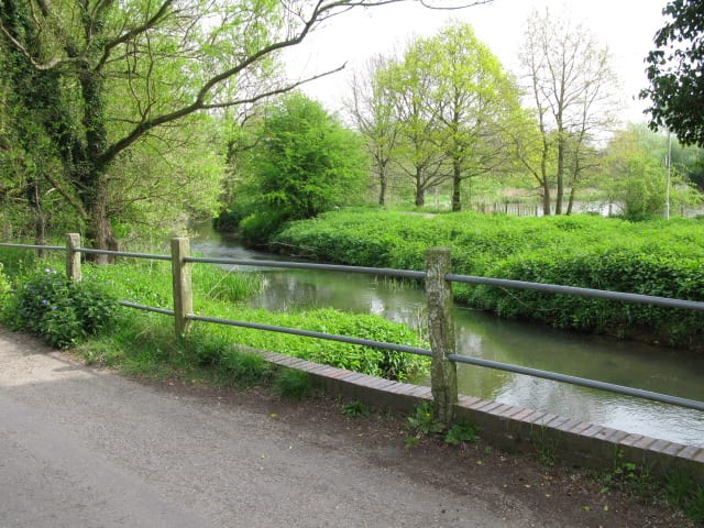
Great StourRiver · 0.1 mi (about 0.2 mi on foot) Kent Downs National LandscapeNational Landscape · 0.6 mi (about 0.8 to 0.9 mi on foot)
 North Downs WayNational Trail · 0.7 mi (about 0.8 to 0.9 mi on foot)
Walking distances are estimates from the straight-line distance and the type of ground, not a measured route. Check a map before you set off.
About Chartham Rail Station
Chartham is a village and civil parish in the Canterbury district of Kent, England. It is situated on the Ashford side of the city, and is in the North Downs area of Outstanding Natural Beauty, 2.3 mi (4 km) south west of Canterbury, England. The Great Stour Way path passes through the village. A paper mill in the village that had specialised in the production of tracing paper since 1938 has in 2022 closed down. There are numerous arable farms and orchards in the parish. The village has an unstaffed station, Chartham, and has recently upgraded its staffed level crossing to an automatic barrier. It has an outlying locality sharing in many of the community resources, Chartham Hatch.
Hills, trails and walks from the platform
Walking distances are estimates from the straight-line distance and the type of ground, not a measured route. Check a map before you set off.
| Chartham Downs | 111m | 1.9 mi (about 2.5 to 3 mi on foot) |
| Beech Pollard | 125m | 2.6 mi (about 3.5 to 4 mi on foot) |
| The Mount | 152m | 3.9 mi (about 5 to 5.5 mi on foot) |
| Clapham Hill | 69m | 5.5 mi (about 7 to 8 mi on foot) |
| West Down | 186m | 6.2 mi (about 8 to 9 mi on foot) |
| North Downs Way ↗ | 158.9 mi | 0.7 mi |
Route data © OpenStreetMap contributors, ODbL – coverage and route quality vary by area.
| Stour Valley Walk ↗Regional | 54.2 mi | 0.1 mi |
| Otford to Canterbury Cathedral ↗Regional | 59.2 mi | 0.7 mi |
| North Downs Way (Canterbury loop) ↗National | 32.4 mi | 0.7 mi |
| Canterbury Outer Ring Walk ↗Local | 21.3 mi | 0.8 mi |
| Kent County Council Centenary Walk ↗Local | 6.0 mi | 0.8 mi |