






Chilham Rail Station
- National Landscape
- River
- National Trail
- Peaks nearby
- 6
- highest 79m
- Walking routes
- 21
- within 10 miles
What's on the doorstep
Kent Downs National LandscapeNational Landscape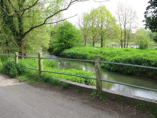 Great StourRiver · 0.1 mi (about 0.2 mi on foot)
 North Downs WayNational Trail · 0.5 mi (about 0.6 to 0.7 mi on foot)
Walking distances are estimates from the straight-line distance and the type of ground, not a measured route. Check a map before you set off.
About Chilham Rail Station
Chilham is a village and civil parish in the Borough of Ashford in Kent, England. It sits on the north bank of the Great Stour around 5+1⁄2 miles to the southwest of Canterbury and seven miles northeast of Ashford. It is a mostly agricultural parish, with settlement clustered around Chilham village centre, which is next to the Grade I-listed Chilham Castle. Well-preserved roads and mostly residential listed buildings in the centre have led to its use as a location in television and film. Also lying within the civil parish is the smaller linear settlement of Shottenden, which is situated 1+1⁄2 miles west of Chilham.
Hills, trails and walks from the platform
Walking distances are estimates from the straight-line distance and the type of ground, not a measured route. Check a map before you set off.
| Beech Pollard | 125m | 1.9 mi (about 2.5 to 3 mi on foot) |
| The Mount | 152m | 2.2 mi (about 3 mi on foot) |
| Chartham Downs | 111m | 3.4 mi (about 4.5 to 5 mi on foot) |
| West Down | 186m | 5.3 mi (about 7 to 7.5 mi on foot) |
| Clapham Hill | 69m | 6.6 mi (about 8.5 to 9.5 mi on foot) |
| North Downs Way ↗ | 158.9 mi | 0.5 mi |
Route data © OpenStreetMap contributors, ODbL – coverage and route quality vary by area.
| Stour Valley Walk ↗Regional | 54.2 mi | 0.4 mi |
| North Downs Way (Canterbury loop) ↗National | 32.4 mi | 0.5 mi |
| Otford to Canterbury Cathedral ↗Regional | 59.2 mi | 0.5 mi |
| Augustine Camino ↗Regional | 65.1 mi | 2.0 mi |
| Kent County Council Centenary Walk ↗Local | 6.0 mi | 2.8 mi |