





Congleton Rail Station
- Canal
- Disused railway
- Lake or reservoir
- Peaks nearby
- 30
- highest 506m
- Walking routes
- 20
- within 10 miles
What's on the doorstep
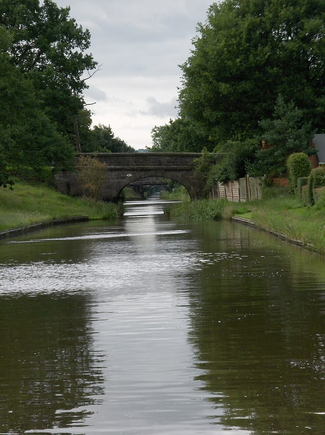
Macclesfield CanalCanalAlso nearby
Walking distances are estimates from the straight-line distance and the type of ground, not a measured route. Check a map before you set off.
About Congleton Rail Station
Congleton is a market town and civil parish in the borough of Cheshire East, in Cheshire, England. The town is on the River Dane, 21 miles (34 km) south of Manchester and 13 miles (21 km) north of Stoke on Trent. At the 2021 census, the town's built-up area had a population of 30,005, while the parish had a population of 28,497.
Source: Wikipedia, CC BY-SA.
Hills, trails and walks from the platform
Walking distances are estimates from the straight-line distance and the type of ground, not a measured route. Check a map before you set off.
| The CloudEM | 343m | 2.2 mi (about 3 mi on foot) |
| Long Edge | 318m | 2.3 mi (about 3 to 3.5 mi on foot) |
| Old Man of Mow | 337m | 3.1 mi (about 4 to 4.5 mi on foot) |
| Mow Cop - Trig Point | 335m | 3.1 mi (about 4 to 4.5 mi on foot) |
| The Bent | 336m | 3.3 mi (about 4.5 to 5 mi on foot) |
No National Trails within 10 miles.
Route data © OpenStreetMap contributors, ODbL – coverage and route quality vary by area.
| Cheshire Ring Canal Walk ↗ | 95.3 mi | 0.0 mi |
| South Cheshire Market Towns Trail ↗Regional | 42.6 mi | 0.5 mi |
| Gritstone Trail (Rushton Spencer - Kidsgrove) ↗Regional | 12.5 mi | 0.7 mi |
| Staffordshire Way (Mow Cop-Rushton Spencer) ↗Regional | 8.7 mi | 0.7 mi |
| Priesty Trail ↗ | 1.2 mi | 0.8 mi |