





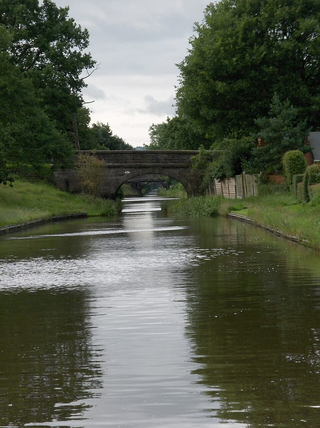
Photo: Mayalld at English Wikipedia, CC BY-SA 3.0, via Wikimedia Commons
The Macclesfield Canal in Cheshire East was built after 1824 with Thomas Telford's support, finally connecting Macclesfield to the national canal network. Kidsgrove, Macclesfield, Strines and Marple stations give train access to the towpath.
There are 10 stations within reach of the Macclesfield Canal: within 2 miles of it, or half a mile in towns.
The Macclesfield Canal runs about 27 miles in our route data, including any river sections it follows. The stations below are in order along it.
Macclesfield Canal train stations
- Congleton
- Kidsgrove0.1 mi (about 0.2 mi on foot)
- Macclesfield0.3 mi (about 0.4 to 0.5 mi on foot)
- Middlewood0.4 mi (about 0.4 to 0.5 mi on foot)
- Marple0.6 mi (about 0.7 to 0.8 mi on foot)
- Rose Hill Marple0.7 mi (about 0.8 to 0.9 mi on foot)
- Adlington (Cheshire)1.1 mi (about 1.5 mi on foot)
- Disley1.3 mi (about 1.5 mi on foot)
- Strines1.3 mi (about 1.5 to 2 mi on foot)
- Alsager1.8 mi (about 2 to 2.5 mi on foot)
Walking distances are estimates from the straight-line distance and the type of ground, not a measured route. Check a map before you set off.
Station-to-station walks
Walk the towpath from one station and catch the train back from another. Each station is shown with its nearest walk in each direction along the Macclesfield Canal, from 4 to 20 miles. Miles include the walk to and from each station.
| From | To | Distance | Time |
|---|---|---|---|
| Kidsgrove | Congleton | 6 to 6.5 mi | about 2 hours |
| Alsager | Congleton | 8 mi | about 2.5 hours |
| Congleton | Macclesfield | 11 mi | about 3.5 hours |
| Macclesfield | Adlington (Cheshire) | 6.5 mi | about 2 hours |
| Macclesfield | Middlewood | 9.5 mi | about 3 hours |
| Macclesfield | Disley | 10 to 10.5 mi | about 3.5 hours |
| Adlington (Cheshire) | Strines | 8 to 8.5 mi | about 2.5 to 3 hours |
| Adlington (Cheshire) | Rose Hill Marple | 8 to 8.5 mi | about 2.5 to 3 hours |
| Adlington (Cheshire) | Marple | 8 to 8.5 mi | about 2.5 to 3 hours |
Walks onto other canals
Start on the Macclesfield Canal and finish on another canal, changing at the junction where they meet.
| From | To | Distance | Time |
|---|---|---|---|
| Middlewood | Furness Valeon the Peak Forest Canal | 8 mi | about 2.5 hours |
| Disley | Bredburyon the Peak Forest Canal | 8.5 mi | about 3 hours |
| Congleton | Alsageron the Trent and Mersey Canal | 9.5 to 10 mi | about 3 to 3.5 hours |
Times use Naismith's rule and don't include stops.
Canal routes and towpaths © OpenStreetMap contributors.
More of Macclesfield Canal
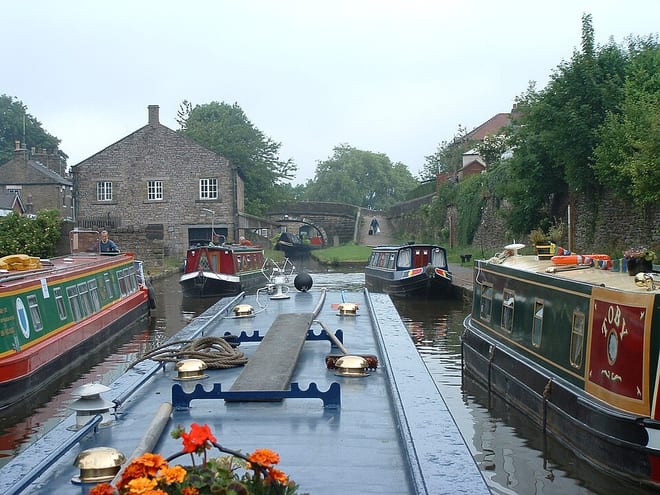
Photo: The original uploader was Akke at English Wikipedia., CC BY-SA 2.5, via Wikimedia Commons