





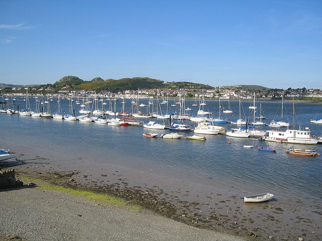
Conwy Rail Station
- River
- National Park
- Heritage Coast
- Peaks nearby
- 30
- highest 93m
- Walking routes
- 13
- within 10 miles
What's on the doorstep
Afon ConwyRiver · 0.3 mi (about 0.3 to 0.4 mi on foot) Eryri / SnowdoniaNational Park · 0.4 mi (about 0.5 mi on foot)
 Great OrmeHeritage Coast · 2.8 mi (about 3.5 to 4.5 mi on foot)
Walking distances are estimates from the straight-line distance and the type of ground, not a measured route. Check a map before you set off.
About Conwy Rail Station
Conwy, previously known in English as Conway, is a walled market town, a community and the administrative centre of Conwy County Borough in North Wales. The walled town and castle stand on the west bank of the River Conwy, facing Deganwy on the east bank. The town formerly lay in Gwynedd, and before that in Caernarfonshire. The community, which also includes Deganwy and Llandudno Junction, had a population of 14,753 at the 2011 census.
Hills, trails and walks from the platform
Walking distances are estimates from the straight-line distance and the type of ground, not a measured route. Check a map before you set off.
| Bodlondeb Wood | 57m | 0.4 mi (about 0.5 to 0.6 mi on foot) |
| Iolyn Park | 129m | 1.0 mi (about 1.5 mi on foot) |
| Bryn-mawr | 144m | 1.0 mi (about 1.5 mi on foot) |
| Iolyn Park (old GR) | 129m | 1.2 mi (about 1.5 mi on foot) |
| Degannwy Castle | 110m | 1.2 mi (about 1.5 to 2 mi on foot) |
No National Trails within 10 miles.
Route data © OpenStreetMap contributors, ODbL – coverage and route quality vary by area.
| Cambrian Way ↗National | 300.1 mi | 0.0 mi |
| Wales Coast Path (North Wales) main route ↗National | 86.1 mi | 0.2 mi |
| North Wales Path ↗Regional | 59.9 mi | 0.2 mi |
| Conwy Mountain alternative ↗National | 10.0 mi | 0.4 mi |
| Jubilee Path ↗Local | 1.4 mi | 2.8 mi |