






Craigendoran Rail Station
- Scotland's Great Trail
- National Park
- Lake or reservoir
- Peaks nearby
- 30
- highest 97m
- Walking routes
- 20
- within 10 miles
What's on the doorstep
Three Lochs WayScotland's Great Trail · 0.1 mi (about 0.2 mi on foot) Loch Lomond and The Trossachs National ParkNational Park · 1.7 mi (about 2 to 2.5 mi on foot)
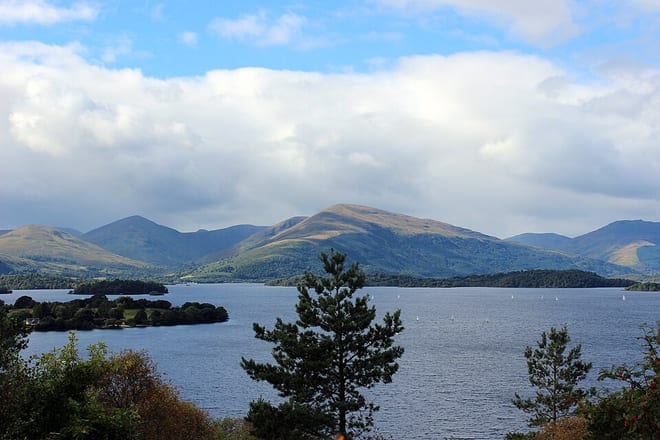 Loch LomondLake or reservoir · 3.9 mi (about 4.5 to 5 mi on foot)
Walking distances are estimates from the straight-line distance and the type of ground, not a measured route. Check a map before you set off.
About Craigendoran Rail Station
Craigendoran is a suburb at the eastern end of Helensburgh in Scotland, on the northern shore of the Firth of Clyde. The name is from the Gaelic for "the rock of the otter".
Source: Wikipedia, CC BY-SA.
Hills, trails and walks from the platform
Walking distances are estimates from the straight-line distance and the type of ground, not a measured route. Check a map before you set off.
| Ben BowieM | 313m | 2.1 mi (about 2.5 to 3 mi on foot) |
| Killoeter | 300m | 2.2 mi (about 3 mi on foot) |
| Gallow Hill | 128m | 3.3 mi (about 4.5 to 5 mi on foot) |
| Bromley Muir | 304m | 3.6 mi (about 4.5 to 5 mi on foot) |
| The FruinM | 361m | 4.2 mi (about 5.5 to 6 mi on foot) |
No National Trails within 10 miles.
Route data © OpenStreetMap contributors, ODbL – coverage and route quality vary by area.