





Darwen Rail Station
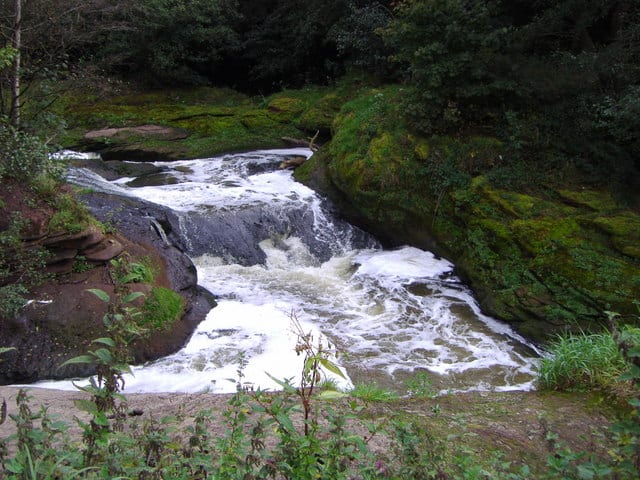
- River
- Lake or reservoir
- Peaks nearby
- 30
- highest 477m
- Walking routes
- 21
- within 10 miles
What's on the doorstep
Walking distances are estimates from the straight-line distance and the type of ground, not a measured route. Check a map before you set off.
About Darwen Rail Station
Darwen is a market town and civil parish in the Blackburn with Darwen borough of Lancashire, England. The residents of the town are known as "Darreners". The town lies on the River Darwen, which flows from south to north and is seen in parks in the town centre. The A666 road passes through Darwen towards Blackburn to the north, Bolton to the south and Pendlebury, where it joins the A6, about 18 miles (29 km) north-west of Manchester. The population of Darwen stood at 28,124 in the 2021 census. It comprises four wards and has its own town council.
Hills, trails and walks from the platform
Walking distances are estimates from the straight-line distance and the type of ground, not a measured route. Check a map before you set off.
| Winter Hill | 280m | 1.6 mi (about 2 to 2.5 mi on foot) |
| Rushton's Height | 324m | 1.7 mi (about 2 to 2.5 mi on foot) |
| Bog Bank | 232m | 2.0 mi (about 2.5 to 3 mi on foot) |
| Cartridge Hill | 402m | 2.1 mi (about 3 mi on foot) |
| Rushy Hill | 377m | 2.7 mi (about 3.5 to 4 mi on foot) |
| Pennine Bridleway ↗ | 206.0 mi | 8.4 mi |
Route data © OpenStreetMap contributors, ODbL – coverage and route quality vary by area.
| Tacklers Trail - Witton Weavers Way ↗Local | 9.7 mi | 0.8 mi |
| Reelers Trail - Witton Weavers Way ↗Local | 8.1 mi | 2.2 mi |
| Full walk - Witton Weavers Way ↗ | 5.6 mi | 2.4 mi |
| Warpers Trail - Witton Weavers Way ↗Local | 8.9 mi | 2.7 mi |
| Rossendale Way ↗Regional | 41.7 mi | 2.9 mi |