





Dumbarton Central Rail Station
- River
- National Park
- Lake or reservoir
- Peaks nearby
- 30
- highest 85m
- Walking routes
- 20
- within 10 miles
What's on the doorstep
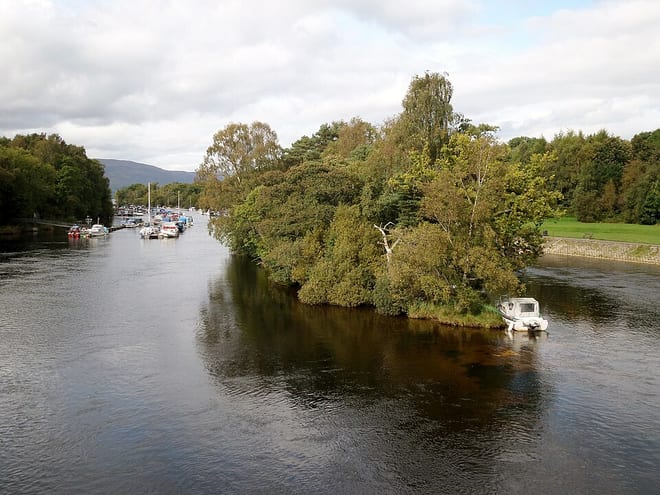
River Leven (West Dunbartonshire)River · 0.3 mi (about 0.4 mi on foot) Loch Lomond and The Trossachs National ParkNational Park · 3.6 mi (about 4.5 to 5 mi on foot)
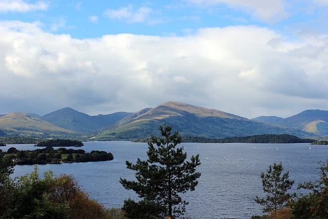 Loch LomondLake or reservoir · 4.2 mi (about 5 to 5.5 mi on foot)
Walking distances are estimates from the straight-line distance and the type of ground, not a measured route. Check a map before you set off.
About Dumbarton Central Rail Station
Dumbarton Central railway station serves the town of Dumbarton in West Dunbartonshire, Scotland. This station is on the West Highland Line and the North Clyde Line, 15+3⁄4 miles (25.3 km) northwest of Glasgow Queen Street.
Source: Wikipedia, CC BY-SA.
Hills, trails and walks from the platform
Walking distances are estimates from the straight-line distance and the type of ground, not a measured route. Check a map before you set off.
| Dumbarton Castle | 74m | 0.7 mi (about 1 mi on foot) |
| Barwood Hill | 131m | 1.4 mi (about 2 mi on foot) |
| Dumbuck Hill West | 126m | 1.4 mi (about 2 mi on foot) |
| Dumbowie | 158m | 1.5 mi (about 2 mi on foot) |
| Dumbuck Hill | 164m | 1.6 mi (about 2 to 2.5 mi on foot) |
No National Trails within 10 miles.
Route data © OpenStreetMap contributors, ODbL – coverage and route quality vary by area.
| The Crags Circular Path ↗Local | 8.7 mi | 0.2 mi |
| Overtoun House Circular Path ↗Local | 4.0 mi | 0.2 mi |
| The Shore Circular Path ↗Local | 4.7 mi | 0.3 mi |
| The Castle Circular Path ↗Local | 0.8 mi | 0.7 mi |
| Clyde Coastal Path: 2: 6 Woodhall Roundabout to Erskine Bridge ↗Regional | 9.6 mi | 1.6 mi |