





Drumry Rail Station
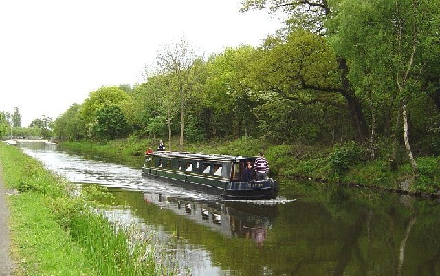
- Canal
- Peaks nearby
- 30
- highest 83m
- Walking routes
- 20
- within 10 miles
What's on the doorstep
Walking distances are estimates from the straight-line distance and the type of ground, not a measured route. Check a map before you set off.
About Drumry Rail Station
Drumry is a district in the Scottish town of Clydebank, West Dunbartonshire, split into North and South Drumry by its main thoroughfare, Drumry Road. Some of the housing, including five tower blocks, was refurbished in the early 2010s.
Source: Wikipedia, CC BY-SA.
Hills, trails and walks from the platform
Walking distances are estimates from the straight-line distance and the type of ground, not a measured route. Check a map before you set off.
| Cairn Hill | 73m | 2.1 mi (about 2.5 to 3 mi on foot) |
| Craigend Hill | 59m | 3.1 mi (about 4 to 4.5 mi on foot) |
| Douglas Park | 81m | 3.3 mi (about 4.5 to 5 mi on foot) |
| Cochno Hill | 348m | 3.6 mi (about 4.5 to 5 mi on foot) |
| Craigmore Hill | 358m | 3.6 mi (about 4.5 to 5 mi on foot) |
No National Trails within 10 miles.
Route data © OpenStreetMap contributors, ODbL – coverage and route quality vary by area.
| Forth & Clyde/Union Canal Towpath ↗National | 63.1 mi | 0.3 mi |
| Drumchapel Way ↗Local | 4.6 mi | 0.4 mi |
| Clyde Coastal Path: 3: 8 Hardgate to Stockiemuir Road ↗Regional | 3.2 mi | 1.4 mi |
| Clyde Coastal Path ↗Regional | 19.0 mi | 1.4 mi |
| Clyde Coastal Path: 3: 7 Erskine Bridge to Hardgate ↗Regional | 3.8 mi | 1.5 mi |