





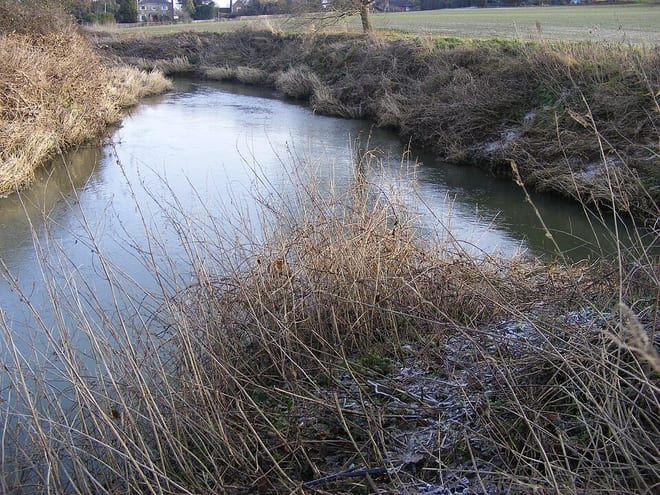
Edenbridge Town Rail Station
- River
- Peaks nearby
- 27
- highest 88m
- Walking routes
- 21
- within 10 miles
What's on the doorstep
Walking distances are estimates from the straight-line distance and the type of ground, not a measured route. Check a map before you set off.
About Edenbridge Town Rail Station
Edenbridge Town railway station is one of two stations serving Edenbridge in Kent, England. The station, and all trains serving it, are operated by Southern, and it is on the Uckfield branch of the Oxted line, 25 miles 47 chains from London Bridge.
Source: Wikipedia, CC BY-SA.
Hills, trails and walks from the platform
Walking distances are estimates from the straight-line distance and the type of ground, not a measured route. Check a map before you set off.
| Crockham Hill | 216m | 3.0 mi (about 4 to 4.5 mi on foot) |
| Markbeech Hill | 149m | 3.2 mi (about 4 to 4.5 mi on foot) |
| Dry Hill | 172m | 3.2 mi (about 4 to 4.5 mi on foot) |
| Toy's Hill | 248m | 3.7 mi (about 5 to 5.5 mi on foot) |
| Wheatsheaf Hill | 218m | 4.2 mi (about 5.5 to 6 mi on foot) |
| North Downs Way ↗ | 158.9 mi | 5.8 mi |
Route data © OpenStreetMap contributors, ODbL – coverage and route quality vary by area.
| Eden Valley Walk ↗Local | 14.7 mi | 0.2 mi |
| Vanguard Way ↗Regional | 67.5 mi | 0.7 mi |
| Tandridge Border Path ↗Regional | 53.9 mi | 1.2 mi |
| Octavia Hill Centenary walk west ↗Local | 6.1 mi | 2.5 mi |
| Corner of Four Counties walk (SCC) ↗Local | 5.5 mi | 2.8 mi |